Area Overview for BL1 6NA
Photos of BL1 6NA
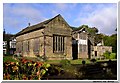
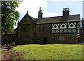
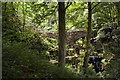
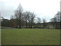
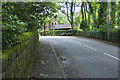
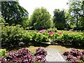
82 photos from this area
Area Information
Key information about the BL1 6NA including its size, population, and administrative classification.
- Area Type
- Postcode
- Area Size
- 1.5 hectares
- Population
- 1571
- Population Density
- 257 people/km²
House Prices in BL1 6NA
36
Properties
£137,290
Average Sold Price
£48,250
Lowest Price
£255,000
Highest Price
Showing 36 properties
| Address | Type | Beds | Baths | Last Sale Price | Last Sale Date | |
|---|---|---|---|---|---|---|
| 28 Kenwood Road, Bolton, BL1 6NA | Detached | 3 | 1 | £252,500 | Jun 2025 | |
| 21 Kenwood Road, Bolton, BL1 6NA | Semi-detached | 3 | 1 | £255,000 | Nov 2024 | |
| 19 Kenwood Road, Bolton, BL1 6NA | Semi-detached | 3 | - | £140,000 | Aug 2024 | |
| 11A Kenwood Road, Bolton, BL1 6NA | Semi-detached | 3 | 2 | £212,000 | May 2022 | |
| 31 Kenwood Road, Bolton, BL1 6NA | Bungalow | - | - | £125,000 | May 2021 | |
| 24 Kenwood Road, Bolton, BL1 6NA | house | - | - | £188,500 | Feb 2021 | |
| 30 Kenwood Road, Bolton, BL1 6NA | house | 3 | 1 | £174,500 | Dec 2020 | |
| 22 Kenwood Road, Bolton, BL1 6NA | Semi-detached | 3 | - | £155,000 | Nov 2019 | |
| 20 Kenwood Road, Bolton, BL1 6NA | Semi-detached | 3 | 1 | £180,000 | Mar 2019 | |
| 16 Kenwood Road, Bolton, BL1 6NA | Semi-detached | 3 | - | £185,000 | Nov 2018 |
Page 1 of 4
Energy Efficiency in BL1 6NA
Amenities
Schools
| Rank | School | Type | Entry gender | Ages |
|---|
Explore more schools in this area
Go to Schools tabDemographics
Household Size
Family (3-5 people)
most common
Accommodation Type
Houses
most common
Tenure
92
majority
Ethnic Group
White
most common
Religion
N/A
most common
Household Composition
N/A
most common
Age
47
median
Adults (30-64 years)
most common
Household Deprivation
N/A
with no deprivation
NS-SEC
49
in Lower managerial occupations
Explore more demographic insights in this area
Go to Demographics tabPlanning
Planning Constraints
- Flood RiskPremium
- Ramsar Wetland SitesPremium
- Area of Outstanding Natural BeautyPremium
- Protected Nature ReservePremium
- Protected WoodlandPremium