Area Overview for BL1 5EH
Photos of BL1 5EH
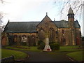
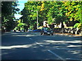
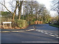
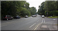
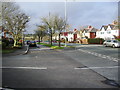
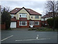
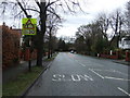
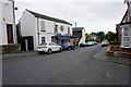
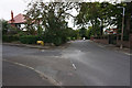
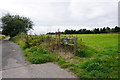
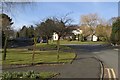
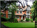
14 photos from this area
Area Information
Key information about the BL1 5EH including its size, population, and administrative classification.
- Area Type
- Postcode
- Area Size
- 2.2 hectares
- Population
- 1558
- Population Density
- 4466 people/km²
House Prices in BL1 5EH
25
Properties
£380,601
Average Sold Price
£72,000
Lowest Price
£842,000
Highest Price
Showing 25 properties
| Address | Type | Beds | Baths | Last Sale Price | Last Sale Date | |
|---|---|---|---|---|---|---|
| 44 Oakwood Drive, Bolton, BL1 5EH | Detached | 4 | 3 | £720,000 | Sep 2022 | |
| 28 Oakwood Drive, Bolton, BL1 5EH | Bungalow | - | - | £390,000 | Aug 2022 | |
| 65 Oakwood Drive, Bolton, BL1 5EH | Detached | 5 | 4 | £842,000 | Mar 2021 | |
| 52 Oakwood Drive, Bolton, BL1 5EH | Detached | 4 | 2 | £420,000 | Feb 2021 | |
| 51 Oakwood Drive, Bolton, BL1 5EH | Detached | 4 | 1 | £362,930 | May 2020 | |
| 38 Oakwood Drive, Bolton, BL1 5EH | Detached | 3 | 2 | £390,000 | Nov 2019 | |
| 18 Oakwood Drive, Bolton, BL1 5EH | Bungalow | 3 | 2 | £362,500 | Oct 2019 | |
| 42 Oakwood Drive, Bolton, BL1 5EH | Bungalow | 3 | 3 | £355,000 | Oct 2016 | |
| Southmead, 59 Oakwood Drive, Bolton, BL1 5EH | Detached | 4 | - | £727,500 | Jun 2014 | |
| 34 Oakwood Drive, Bolton, BL1 5EH | Detached | 4 | - | £325,000 | Nov 2013 |
Page 1 of 3
Energy Efficiency in BL1 5EH
Amenities
Schools
| Rank | School | Type | Entry gender | Ages |
|---|
Explore more schools in this area
Go to Schools tabDemographics
Household Size
Family (3-5 people)
most common
Accommodation Type
Houses
most common
Tenure
85
majority
Ethnic Group
White
most common
Religion
N/A
most common
Household Composition
N/A
most common
Age
47
median
Adults (30-64 years)
most common
Household Deprivation
N/A
with no deprivation
NS-SEC
48
in Lower managerial occupations
Explore more demographic insights in this area
Go to Demographics tabPlanning
Planning Constraints
- Flood RiskPremium
- Ramsar Wetland SitesPremium
- Area of Outstanding Natural BeautyPremium
- Protected Nature ReservePremium
- Protected WoodlandPremium