Area Overview for BL1 5AD
Photos of BL1 5AD
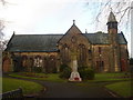
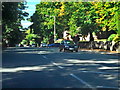
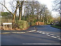
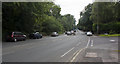
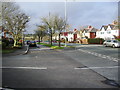
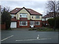
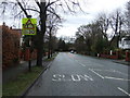
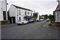
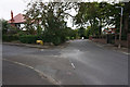
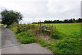
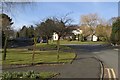
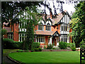
14 photos from this area
Area Information
Key information about the BL1 5AD including its size, population, and administrative classification.
- Area Type
- Postcode
- Area Size
- 4.4 hectares
- Population
- 1561
- Population Density
- 1228 people/km²
House Prices in BL1 5AD
14
Properties
£737,200
Average Sold Price
£211,000
Lowest Price
£1,005,000
Highest Price
Showing 14 properties
| Address | Type | Beds | Baths | Last Sale Price | Last Sale Date | |
|---|---|---|---|---|---|---|
| 380 Chorley New Road, Bolton, BL1 5AD | Detached | 4 | 4 | £985,000 | Sep 2023 | |
| 342 Chorley New Road, Bolton, BL1 5AD | Semi-detached | 5 | 3 | £775,000 | Jul 2019 | |
| 364 Chorley New Road, Bolton, BL1 5AD | Detached | - | - | £1,005,000 | Jun 2019 | |
| 384 Chorley New Road, Bolton, BL1 5AD | Detached | - | - | £710,000 | Dec 2002 | |
| 342A Chorley New Road, Bolton, BL1 5AD | Flat | - | - | £211,000 | Aug 1997 | |
| 350 Chorley New Road, Bolton, BL1 5AD | Detached | 5 | 5 | - | - | |
| 344 Chorley New Road, Bolton, BL1 5AD | Semi-detached | 6 | 5 | - | - | |
| West Morelands, 340 Chorley New Road, Bolton, BL1 5AD | Detached | 5 | 3 | - | - | |
| Sunningdale, 382 Chorley New Road, Bolton, BL1 5AD | Detached | 5 | 4 | - | - | |
| South Bank, 348 Chorley New Road, Bolton, BL1 5AD | Detached | 3 | 2 | - | - |
Page 1 of 2
Energy Efficiency in BL1 5AD
Amenities
Schools
| Rank | School | Type | Entry gender | Ages |
|---|
Explore more schools in this area
Go to Schools tabDemographics
Household Size
Two person
most common
Accommodation Type
Houses
most common
Tenure
95
majority
Ethnic Group
White
most common
Religion
N/A
most common
Household Composition
N/A
most common
Age
47
median
Adults (30-64 years)
most common
Household Deprivation
N/A
with no deprivation
NS-SEC
49
in Lower managerial occupations
Explore more demographic insights in this area
Go to Demographics tabPlanning
Planning Constraints
- Flood RiskPremium
- Ramsar Wetland SitesPremium
- Area of Outstanding Natural BeautyPremium
- Protected Nature ReservePremium
- Protected WoodlandPremium