Area Overview for BL1 3EL
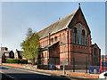
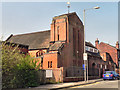
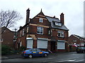
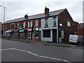
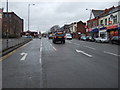
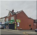
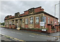
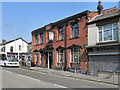
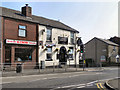
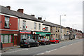
Photos of BL1 3EL


Area Information
BL1 3EL is a small, tightly knit residential postcode area in Bolton, Greater Manchester, with a population of just over 2,000. Situated in a historically rural part of Lancashire, it is part of the broader Bolton borough, though its character retains traces of its former township roots. The area is defined by its compact size and low population density, making it a quiet, low-traffic environment. Residents here are predominantly adults aged 30–64, with a median age of 47, suggesting a community of settled families and professionals. The area’s proximity to Bolton and surrounding towns like Halliwell and Sharples offers easy access to urban amenities while retaining a village-like atmosphere. With only 30% of homes owned by residents, the area leans toward rental properties, which may influence its local dynamics. For those seeking a peaceful yet connected location, BL1 3EL provides a blend of small-town charm and proximity to Greater Manchester’s infrastructure.
- Area Type
- Postcode
- Area Size
- Not available
- Population
- 2038
- Population Density
- 5302 people/km²
BL1 3EL is a small area with limited housing stock, primarily consisting of houses. With only 30% of properties owned by residents, the area is more rental-focused than owner-occupied. This dynamic may make the property market competitive for buyers, as the number of available homes for sale is likely constrained. The predominance of houses suggests a focus on family homes, though the exact size and condition of these properties are not detailed. Given the area’s compact size, buyers should consider proximity to surrounding towns like Bolton for additional housing options. The low home ownership rate also indicates that landlords may hold a significant share of the market, which could influence pricing and availability. For those seeking a home in BL1 3EL, patience and a clear understanding of local demand may be essential.
House Prices in BL1 3EL
No properties found in this postcode.
Energy Efficiency in BL1 3EL
Residents of BL1 3EL have access to a range of nearby amenities, including five retail outlets such as Morrisons Daily, Morrisons Halliwell, and Farmfoods Halliwell. These shops provide essential grocery and daily needs, reducing the need for long trips to larger centres. The area’s rail and metro stations, including Bolton and Bromley Cross, offer convenient transport to surrounding towns and cities, enhancing accessibility to leisure, dining, and employment opportunities. While the data does not mention parks or recreational facilities, the proximity to Bolton and Halliwell likely provides access to green spaces and community hubs. The combination of retail convenience and transport links supports a practical, low-stress lifestyle, though the area’s small size may limit on-site leisure options.
Amenities
Schools
The nearest school to BL1 3EL is Brownlow Fold Primary School, which serves the area with a good Ofsted rating. This primary school is a key local institution, providing education for younger children. However, the absence of secondary schools in the immediate vicinity means families may need to look to nearby towns like Bolton or Halliwell for secondary education. The presence of a well-rated primary school is a positive factor for families with young children, though the lack of comprehensive school options for older students could be a limitation. For prospective buyers, the quality of the primary school may be a significant consideration, particularly for those prioritising local education.
| Rank | School | Type | Entry gender | Ages |
|---|
Explore more schools in this area
Go to Schools tabDemographics
The population of BL1 3EL is 2,038, with a median age of 47. The most common age group is adults aged 30–64, indicating a mature, stable community. Home ownership is low at 30%, suggesting a higher proportion of rental properties. The area is predominantly occupied by households in houses, though specific data on household composition is not provided. The predominant ethnic group is White, with no additional demographic breakdowns available. The absence of detailed diversity statistics means the area’s cultural composition remains less defined. The relatively high median age and low home ownership rate may reflect a community with a mix of long-term residents and transient occupants. For prospective buyers, this suggests a market where rental demand could be significant, but the small population size limits the pool of potential buyers.
Household Size
Accommodation Type
Tenure
Ethnic Group
Religion
Household Composition
Age
Household Deprivation
NS-SEC
Explore more demographic insights in this area
Go to Demographics tabPlanning
Planning Constraints
- Flood RiskPremium
- Ramsar Wetland SitesPremium
- Area of Outstanding Natural BeautyPremium
- Protected Nature ReservePremium
- Protected WoodlandPremium