Area Overview for BL1 1ES
Photos of BL1 1ES
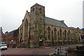
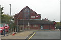
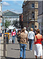
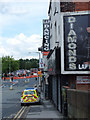
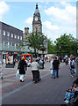
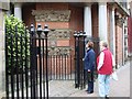
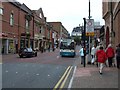
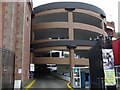
100 photos from this area
Area Information
Key information about the BL1 1ES including its size, population, and administrative classification.
- Area Type
- Postcode
- Area Size
- 1775 m²
- Population
- 2064
- Population Density
- 2436 people/km²
House Prices in BL1 1ES
18
Properties
£79,715
Average Sold Price
£50,000
Lowest Price
£102,000
Highest Price
Showing 18 properties
| Address | Type | Beds | Baths | Last Sale Price | Last Sale Date | |
|---|---|---|---|---|---|---|
| 6, The Arches, Clive Street, Bolton, BL1 1ES | Flat | 1 | 1 | £61,500 | Jan 2023 | |
| 10, The Arches, Clive Street, Bolton, BL1 1ES | Flat | - | - | £67,498 | Dec 2021 | |
| 19, The Arches, Clive Street, Bolton, BL1 1ES | Flat | - | - | £80,000 | Nov 2020 | |
| 1, The Arches, Clive Street, Bolton, BL1 1ES | Flat | 2 | 1 | £50,000 | Jul 2020 | |
| 17, The Arches, Clive Street, Bolton, BL1 1ES | Flat | - | - | £94,000 | Oct 2007 | |
| 2, The Arches, Clive Street, Bolton, BL1 1ES | Flat | 2 | 1 | £70,000 | Sep 2005 | |
| 4, The Arches, Clive Street, Bolton, BL1 1ES | Flat | - | - | £56,875 | Aug 2005 | |
| 11, The Arches, Clive Street, Bolton, BL1 1ES | Flat | - | - | £80,000 | Jun 2005 | |
| 5, The Arches, Clive Street, Bolton, BL1 1ES | Flat | 1 | - | £79,500 | Oct 2004 | |
| 9, The Arches, Clive Street, Bolton, BL1 1ES | Flat | 1 | 1 | £80,000 | Apr 2004 |
Page 1 of 2
Energy Efficiency in BL1 1ES
Amenities
Schools
| Rank | School | Type | Entry gender | Ages |
|---|
Explore more schools in this area
Go to Schools tabDemographics
Household Size
One person
most common
Accommodation Type
Houses
most common
Tenure
33
majority
Ethnic Group
White
most common
Religion
N/A
most common
Household Composition
N/A
most common
Age
47
median
Adults (30-64 years)
most common
Household Deprivation
N/A
with no deprivation
NS-SEC
20
in Lower managerial occupations
Explore more demographic insights in this area
Go to Demographics tabPlanning
Planning Constraints
- Flood RiskPremium
- Ramsar Wetland SitesPremium
- Area of Outstanding Natural BeautyPremium
- Protected Nature ReservePremium
- Protected WoodlandPremium