Area Overview for BL0 9NH
Photos of BL0 9NH

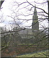
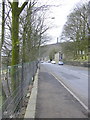
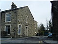
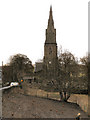


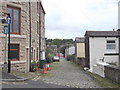
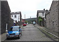
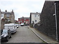
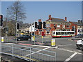
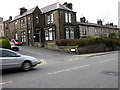
100 photos from this area
Area Information
Key information about the BL0 9NH including its size, population, and administrative classification.
- Area Type
- Postcode
- Area Size
- 2309 m²
- Population
- 1534
- Population Density
- 3479 people/km²
House Prices in BL0 9NH
11
Properties
£127,136
Average Sold Price
£37,500
Lowest Price
£170,000
Highest Price
Showing 11 properties
| Address | Type | Beds | Baths | Last Sale Price | Last Sale Date | |
|---|---|---|---|---|---|---|
| 14 Holt Street West, Ramsbottom, BL0 9NH | Terraced | 2 | 1 | £170,000 | Feb 2025 | |
| 18 Holt Street West, Ramsbottom, BL0 9NH | Terraced | 2 | 1 | £170,000 | Jan 2025 | |
| 12 Holt Street West, Ramsbottom, BL0 9NH | Terraced | 2 | 1 | £162,000 | Aug 2024 | |
| 16 Holt Street West, Ramsbottom, BL0 9NH | Terraced | 2 | 1 | £150,000 | Apr 2024 | |
| 20 Holt Street West, Ramsbottom, BL0 9NH | Terraced | 1 | - | £97,500 | Nov 2018 | |
| 10 Holt Street West, Ramsbottom, BL0 9NH | Terraced | 1 | 2 | £102,950 | Nov 2006 | |
| 22 Holt Street West, Ramsbottom, BL0 9NH | Terraced | 2 | 1 | £37,500 | Jun 1999 | |
| 11A Holt Street West, Ramsbottom, BL0 9NH | Flat | - | - | - | - | |
| 11 Holt Street West, Ramsbottom, BL0 9NH | Flat | - | - | - | - | |
| 11B Holt Street West, Ramsbottom, BL0 9NH | Terraced | 1 | 2 | - | - |
Page 1 of 2
Energy Efficiency in BL0 9NH
Amenities
Schools
| Rank | School | Type | Entry gender | Ages |
|---|
Explore more schools in this area
Go to Schools tabDemographics
Household Size
One person
most common
Accommodation Type
Houses
most common
Tenure
62
majority
Ethnic Group
White
most common
Religion
N/A
most common
Household Composition
N/A
most common
Age
47
median
Adults (30-64 years)
most common
Household Deprivation
N/A
with no deprivation
NS-SEC
38
in Lower managerial occupations
Explore more demographic insights in this area
Go to Demographics tabPlanning
Planning Constraints
- Flood RiskPremium
- Ramsar Wetland SitesPremium
- Area of Outstanding Natural BeautyPremium
- Protected Nature ReservePremium
- Protected WoodlandPremium