Area Overview for BL0 0RU
Photos of BL0 0RU
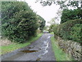
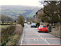
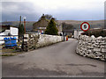
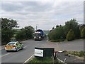
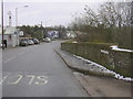
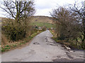
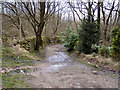
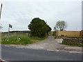
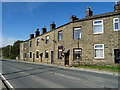
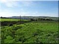
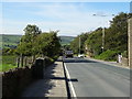
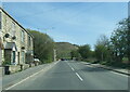
45 photos from this area
Area Information
Key information about the BL0 0RU including its size, population, and administrative classification.
- Area Type
- Postcode
- Area Size
- 11.8 hectares
- Population
- 2253
- Population Density
- 120 people/km²
House Prices in BL0 0RU
19
Properties
£198,562
Average Sold Price
£51,000
Lowest Price
£470,000
Highest Price
Showing 19 properties
| Address | Type | Beds | Baths | Last Sale Price | Last Sale Date | |
|---|---|---|---|---|---|---|
| 55 Bleakholt Road, Ramsbottom, Bury, BL0 0RU | Terraced | 3 | 1 | £240,000 | Mar 2024 | |
| 53 Bleakholt Road, Ramsbottom, Bury, BL0 0RU | house | - | - | £160,000 | Nov 2021 | |
| 51 Bleakholt Road, Ramsbottom, Bury, BL0 0RU | Terraced | 2 | 1 | £195,000 | Aug 2019 | |
| 63 Bleakholt Road, Ramsbottom, Bury, BL0 0RU | Terraced | 3 | 1 | £195,000 | Jan 2019 | |
| 41 Bleakholt Road, Ramsbottom, Bury, BL0 0RU | Cottage | 3 | - | £190,000 | Jul 2018 | |
| Old Schoolhouse, Bleakholt Road, Ramsbottom, Bury, BL0 0RU | Detached | 4 | 2 | £470,000 | Jul 2016 | |
| 47 Bleakholt Road, Ramsbottom, Bury, BL0 0RU | Terraced | - | - | £184,000 | Nov 2007 | |
| Lingmoor, Bleakholt Road, Ramsbottom, Bury, BL0 0RU | Detached | - | - | £247,500 | Apr 2003 | |
| 61 Bleakholt Road, Ramsbottom, Bury, BL0 0RU | Terraced | 2 | 1 | £51,000 | Oct 1996 | |
| 43 Bleakholt Road, Ramsbottom, Bury, BL0 0RU | Cottage | 3 | 1 | £53,120 | Sep 1995 |
Page 1 of 2
Energy Efficiency in BL0 0RU
Amenities
Schools
| Rank | School | Type | Entry gender | Ages |
|---|
Explore more schools in this area
Go to Schools tabDemographics
Household Size
Two person
most common
Accommodation Type
Houses
most common
Tenure
87
majority
Ethnic Group
White
most common
Religion
N/A
most common
Household Composition
N/A
most common
Age
47
median
Adults (30-64 years)
most common
Household Deprivation
N/A
with no deprivation
NS-SEC
47
in Lower managerial occupations
Explore more demographic insights in this area
Go to Demographics tabPlanning
Planning Constraints
- Flood RiskPremium
- Ramsar Wetland SitesPremium
- Area of Outstanding Natural BeautyPremium
- Protected Nature ReservePremium
- Protected WoodlandPremium