Area Overview for BB8 8SY
Photos of BB8 8SY
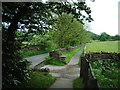
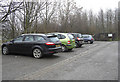
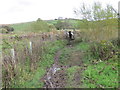
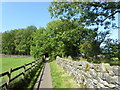
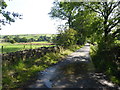
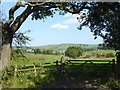
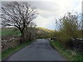
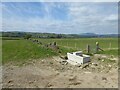
16 photos from this area
Area Information
Key information about the BB8 8SY including its size, population, and administrative classification.
- Area Type
- Postcode
- Area Size
- 94.1 hectares
- Population
- 1854
- Population Density
- 76 people/km²
House Prices in BB8 8SY
18
Properties
£481,875
Average Sold Price
£135,000
Lowest Price
£650,000
Highest Price
Showing 18 properties
| Address | Type | Beds | Baths | Last Sale Price | Last Sale Date | |
|---|---|---|---|---|---|---|
| Thistleholme, Wycoller Road, Trawden, BB8 8SY | Detached | 4 | 3 | £600,000 | Aug 2024 | |
| Lowlands Barn, Wycoller Road, Trawden, BB8 8SY | Semi-detached | 2 | 2 | £400,000 | Jul 2023 | |
| Beckside House, Wycoller Road, Trawden, BB8 8SY | Detached | 3 | 3 | £505,000 | Apr 2021 | |
| Laithe Hill Farm, Wycoller Road, Trawden, BB8 8SY | Detached | 4 | 4 | £645,000 | Aug 2020 | |
| The Pumphouse, Wycoller Road, Trawden, BB8 8SY | Detached | 3 | 1 | £435,000 | Sep 2016 | |
| Oaklands Cottage, Wycoller Road, Trawden, BB8 8SY | Semi-detached | 4 | 3 | £485,000 | Aug 2007 | |
| Wycoller Cottage, Wycoller Road, Trawden, BB8 8SY | Cottage | 3 | 2 | £650,000 | May 2007 | |
| Beckside Cottage, Wycoller Road, Trawden, BB8 8SY | house | - | - | £135,000 | Dec 2001 | |
| Lowlands Farm, Wycoller Road, Trawden, BB8 8SY | Land | - | 2 | - | - | |
| Flat, The Old Shippon, Wycoller Road, Trawden, BB8 8SY | Flat | 5 | 2 | - | - |
Page 1 of 2
Energy Efficiency in BB8 8SY
Amenities
Schools
| Rank | School | Type | Entry gender | Ages |
|---|
Explore more schools in this area
Go to Schools tabDemographics
Household Size
Two person
most common
Accommodation Type
Houses
most common
Tenure
84
majority
Ethnic Group
White
most common
Religion
N/A
most common
Household Composition
N/A
most common
Age
47
median
Adults (30-64 years)
most common
Household Deprivation
N/A
with no deprivation
NS-SEC
38
in Lower managerial occupations
Explore more demographic insights in this area
Go to Demographics tabPlanning
Planning Constraints
- Flood RiskPremium
- Ramsar Wetland SitesPremium
- Area of Outstanding Natural BeautyPremium
- Protected Nature ReservePremium
- Protected WoodlandPremium