Area Overview for BB8 8JD
Photos of BB8 8JD
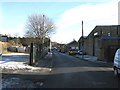
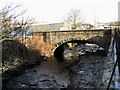
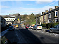
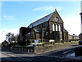
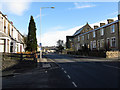
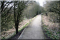
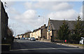
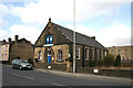
77 photos from this area
Area Information
Key information about the BB8 8JD including its size, population, and administrative classification.
- Area Type
- Postcode
- Area Size
- 1.7 hectares
- Population
- 1898
- Population Density
- 779 people/km²
House Prices in BB8 8JD
44
Properties
£67,438
Average Sold Price
£21,000
Lowest Price
£110,000
Highest Price
Showing 44 properties
| Address | Type | Beds | Baths | Last Sale Price | Last Sale Date | |
|---|---|---|---|---|---|---|
| 195 Burnley Road, Colne, BB8 8JD | Terraced | 2 | 1 | £87,500 | Dec 2024 | |
| 193 Burnley Road, Colne, BB8 8JD | Terraced | 2 | 1 | £91,000 | Aug 2023 | |
| 189 Burnley Road, Colne, BB8 8JD | Terraced | 2 | 1 | £108,000 | Jul 2023 | |
| 215 Burnley Road, Colne, BB8 8JD | Terraced | 3 | 1 | £72,000 | Oct 2022 | |
| 197 Burnley Road, Colne, BB8 8JD | Terraced | 2 | 1 | £64,000 | Aug 2022 | |
| 209 Burnley Road, Colne, BB8 8JD | Terraced | 2 | 1 | £72,500 | Jun 2020 | |
| 253 Burnley Road, Colne, BB8 8JD | Terraced | 2 | 1 | £76,000 | Dec 2018 | |
| 221 Burnley Road, Colne, BB8 8JD | Terraced | - | - | £84,000 | Mar 2018 | |
| 251 Burnley Road, Colne, BB8 8JD | house | - | - | £88,200 | Jan 2017 | |
| 229 Burnley Road, Colne, BB8 8JD | house | - | - | £50,000 | Mar 2014 |
Page 1 of 5
Energy Efficiency in BB8 8JD
Amenities
Schools
| Rank | School | Type | Entry gender | Ages |
|---|
Explore more schools in this area
Go to Schools tabDemographics
Household Size
Two person
most common
Accommodation Type
Houses
most common
Tenure
81
majority
Ethnic Group
White
most common
Religion
N/A
most common
Household Composition
N/A
most common
Age
47
median
Adults (30-64 years)
most common
Household Deprivation
N/A
with no deprivation
NS-SEC
30
in Lower managerial occupations
Explore more demographic insights in this area
Go to Demographics tabPlanning
Planning Constraints
- Flood RiskPremium
- Ramsar Wetland SitesPremium
- Area of Outstanding Natural BeautyPremium
- Protected Nature ReservePremium
- Protected WoodlandPremium