Area Overview for BB7 3JQ
Photos of BB7 3JQ
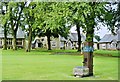
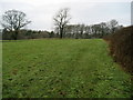
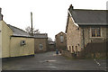
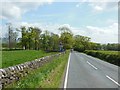
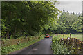
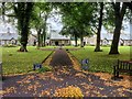
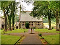
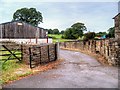
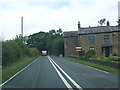
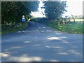
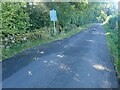
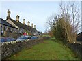
26 photos from this area
Area Information
Key information about the BB7 3JQ including its size, population, and administrative classification.
- Area Type
- Postcode
- Area Size
- 52.7 hectares
- Population
- 1586
- Population Density
- 105 people/km²
House Prices in BB7 3JQ
18
Properties
£534,357
Average Sold Price
£249,500
Lowest Price
£840,000
Highest Price
Showing 18 properties
| Address | Type | Beds | Baths | Last Sale Price | Last Sale Date | |
|---|---|---|---|---|---|---|
| Chancery Barn, Slaidburn Road, Waddington, BB7 3JQ | Semi-detached | 3 | 2 | £650,000 | Apr 2025 | |
| Austin House, Slaidburn Road, Waddington, BB7 3JQ | Detached | 4 | 2 | £840,000 | Dec 2023 | |
| Betty Barn, Slaidburn Road, Waddington, BB7 3JQ | house | - | - | £350,000 | Oct 2022 | |
| The School House, Slaidburn Road, Waddington, BB7 3JQ | house | - | - | £700,000 | Jan 2021 | |
| Parsons Croft, Slaidburn Road, Waddington, BB7 3JQ | Semi-detached | 4 | - | £590,000 | Nov 2017 | |
| Chancery Cottage, Slaidburn Road, Waddington, BB7 3JQ | Detached | - | - | £361,000 | Jun 2005 | |
| Beech House, Slaidburn Road, Waddington, BB7 3JQ | Detached | - | - | £249,500 | Jul 2001 | |
| Vicarage Barn, Slaidburn Road, Waddington, BB7 3JQ | Detached | - | - | - | - | |
| Hollins Farm, Slaidburn Road, Waddington, BB7 3JQ | house | - | - | - | - | |
| Ivy Cottage, Slaidburn Road, Waddington, BB7 3JQ | house | - | - | - | - |
Page 1 of 2
Energy Efficiency in BB7 3JQ
Amenities
Schools
| Rank | School | Type | Entry gender | Ages |
|---|
Explore more schools in this area
Go to Schools tabDemographics
Household Size
Two person
most common
Accommodation Type
Houses
most common
Tenure
84
majority
Ethnic Group
White
most common
Religion
N/A
most common
Household Composition
N/A
most common
Age
47
median
Adults (30-64 years)
most common
Household Deprivation
N/A
with no deprivation
NS-SEC
38
in Lower managerial occupations
Explore more demographic insights in this area
Go to Demographics tabPlanning
Planning Constraints
- Flood RiskPremium
- Ramsar Wetland SitesPremium
- Area of Outstanding Natural BeautyPremium
- Protected Nature ReservePremium
- Protected WoodlandPremium