Area Overview for BB7 2LU
Photos of BB7 2LU
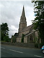
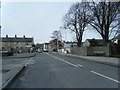
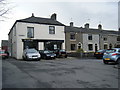
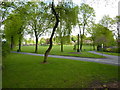
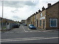
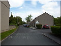
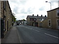
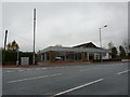
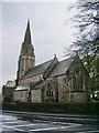
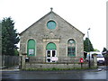
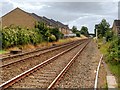
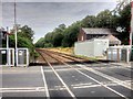
55 photos from this area
Area Information
Key information about the BB7 2LU including its size, population, and administrative classification.
- Area Type
- Postcode
- Area Size
- 7596 m²
- Population
- 1527
- Population Density
- 3040 people/km²
House Prices in BB7 2LU
23
Properties
£141,323
Average Sold Price
£57,000
Lowest Price
£209,000
Highest Price
Showing 23 properties
| Address | Type | Beds | Baths | Last Sale Price | Last Sale Date | |
|---|---|---|---|---|---|---|
| 9 Queen Street, Clitheroe, BB7 2LU | Cottage | 2 | 1 | £190,000 | Jul 2025 | |
| 3 Queen Street, Clitheroe, BB7 2LU | Cottage | 2 | 1 | £170,000 | Oct 2024 | |
| 27 Queen Street, Clitheroe, BB7 2LU | Terraced | 2 | 1 | £152,000 | Nov 2022 | |
| 1 Queen Street, Clitheroe, BB7 2LU | Terraced | 2 | 1 | £128,000 | Sep 2019 | |
| 6 Queen Street, Clitheroe, BB7 2LU | Semi-detached | 3 | 1 | £150,000 | Nov 2014 | |
| 8 Queen Street, Clitheroe, BB7 2LU | Semi-detached | - | - | £153,550 | Mar 2012 | |
| 4 Queen Street, Clitheroe, BB7 2LU | house | - | - | £155,000 | Jul 2009 | |
| 31 Queen Street, Clitheroe, BB7 2LU | Terraced | - | - | £209,000 | May 2008 | |
| 17 Queen Street, Clitheroe, BB7 2LU | Terraced | - | - | £105,000 | Aug 2003 | |
| 11 Queen Street, Clitheroe, BB7 2LU | house | 2 | - | £85,000 | Jul 2003 |
Page 1 of 3
Energy Efficiency in BB7 2LU
Amenities
Schools
| Rank | School | Type | Entry gender | Ages |
|---|
Explore more schools in this area
Go to Schools tabDemographics
Household Size
One person
most common
Accommodation Type
Houses
most common
Tenure
69
majority
Ethnic Group
White
most common
Religion
N/A
most common
Household Composition
N/A
most common
Age
47
median
Adults (30-64 years)
most common
Household Deprivation
N/A
with no deprivation
NS-SEC
35
in Lower managerial occupations
Explore more demographic insights in this area
Go to Demographics tabPlanning
Planning Constraints
- Flood RiskPremium
- Ramsar Wetland SitesPremium
- Area of Outstanding Natural BeautyPremium
- Protected Nature ReservePremium
- Protected WoodlandPremium