Area Overview for BB7 2DP
Photos of BB7 2DP
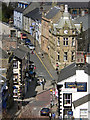
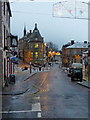
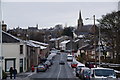
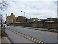
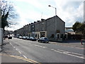
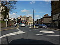
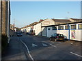
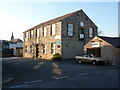
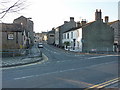
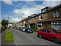
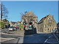
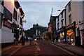
100 photos from this area
Area Information
Key information about the BB7 2DP including its size, population, and administrative classification.
- Area Type
- Postcode
- Area Size
- 6932 m²
- Population
- 1482
- Population Density
- 900 people/km²
House Prices in BB7 2DP
13
Properties
£417,500
Average Sold Price
£255,000
Lowest Price
£580,000
Highest Price
Showing 13 properties
| Address | Type | Beds | Baths | Last Sale Price | Last Sale Date | |
|---|---|---|---|---|---|---|
| Wells House, 31 Wellgate, Clitheroe, BB7 2DP | house | - | - | £580,000 | Dec 2022 | |
| 33 Wellgate, Clitheroe, BB7 2DP | house | - | - | £255,000 | Oct 2015 | |
| 26A Wellgate, Clitheroe, BB7 2DP | Retail | 1 | - | - | - | |
| The Workshop, Wellfold, Wellgate, Clitheroe, BB7 2DP | Office | - | - | - | - | |
| Capital Chinese Restaurant, 41-43 Wellgate, Clitheroe, BB7 2DP | restaurant_cafe | - | - | - | - | |
| 35A Wellgate, Clitheroe, BB7 2DP | Flat | - | - | - | - | |
| 22A Wellgate, Clitheroe, BB7 2DP | Flat | - | - | - | - | |
| Colbourne House, Wellgate, Clitheroe, BB7 2DP | Terraced | - | - | - | - | |
| Brioche, 8-10 Wellgate, Clitheroe, BB7 2DP | restaurant_cafe | - | - | - | - | |
| Ooh La La Hair And Beauty, 28 Wellgate, Clitheroe, BB7 2DP | Office | - | - | - | - |
Page 1 of 2
Energy Efficiency in BB7 2DP
Amenities
Schools
| Rank | School | Type | Entry gender | Ages |
|---|
Explore more schools in this area
Go to Schools tabDemographics
Household Size
Two person
most common
Accommodation Type
Houses
most common
Tenure
68
majority
Ethnic Group
White
most common
Religion
N/A
most common
Household Composition
N/A
most common
Age
47
median
Adults (30-64 years)
most common
Household Deprivation
N/A
with no deprivation
NS-SEC
36
in Lower managerial occupations
Explore more demographic insights in this area
Go to Demographics tabPlanning
Planning Constraints
- Flood RiskPremium
- Ramsar Wetland SitesPremium
- Area of Outstanding Natural BeautyPremium
- Protected Nature ReservePremium
- Protected WoodlandPremium