Area Overview for BB6 7FF
Photos of BB6 7FF
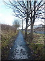
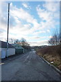
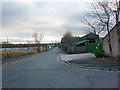
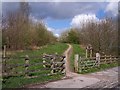
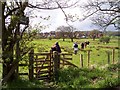
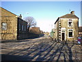
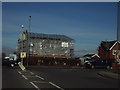
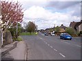
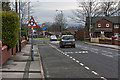
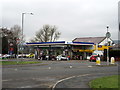
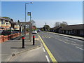
40 photos from this area
Area Information
Key information about the BB6 7FF including its size, population, and administrative classification.
- Area Type
- Postcode
- Area Size
- 1.5 hectares
- Population
- 1596
- Population Density
- 728 people/km²
House Prices in BB6 7FF
43
Properties
£191,637
Average Sold Price
£73,707
Lowest Price
£262,000
Highest Price
Showing 43 properties
| Address | Type | Beds | Baths | Last Sale Price | Last Sale Date | |
|---|---|---|---|---|---|---|
| 25 Mortimer Avenue, Great Harwood, BB6 7FF | Bungalow | 2 | 1 | £212,000 | Jan 2025 | |
| 27 Mortimer Avenue, Great Harwood, BB6 7FF | Semi-detached | 2 | 1 | £183,000 | Sep 2024 | |
| 53 Mortimer Avenue, Great Harwood, BB6 7FF | house | - | - | £227,996 | May 2024 | |
| 49 Mortimer Avenue, Great Harwood, BB6 7FF | house | - | - | £234,995 | Apr 2024 | |
| 59 Mortimer Avenue, Great Harwood, BB6 7FF | house | - | - | £213,746 | Feb 2024 | |
| 61 Mortimer Avenue, Great Harwood, BB6 7FF | house | - | - | £213,746 | Feb 2024 | |
| 33 Mortimer Avenue, Great Harwood, BB6 7FF | Bungalow | 3 | 4 | £262,000 | Feb 2024 | |
| 11 Mortimer Avenue, Great Harwood, BB6 7FF | house | - | - | £240,000 | Mar 2022 | |
| 9 Mortimer Avenue, Great Harwood, BB6 7FF | Detached | 4 | 2 | £239,995 | Oct 2019 | |
| 45 Mortimer Avenue, Great Harwood, BB6 7FF | house | - | - | £227,995 | Aug 2019 |
Page 1 of 5
Energy Efficiency in BB6 7FF
Amenities
Schools
| Rank | School | Type | Entry gender | Ages |
|---|
Explore more schools in this area
Go to Schools tabDemographics
Household Size
Two person
most common
Accommodation Type
Houses
most common
Tenure
80
majority
Ethnic Group
White
most common
Religion
N/A
most common
Household Composition
N/A
most common
Age
47
median
Adults (30-64 years)
most common
Household Deprivation
N/A
with no deprivation
NS-SEC
32
in Lower managerial occupations
Explore more demographic insights in this area
Go to Demographics tabPlanning
Planning Constraints
- Flood RiskPremium
- Ramsar Wetland SitesPremium
- Area of Outstanding Natural BeautyPremium
- Protected Nature ReservePremium
- Protected WoodlandPremium