Area Overview for BB5 6TE
Photos of BB5 6TE
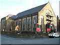
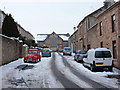
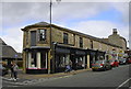
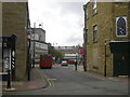
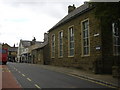
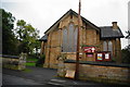
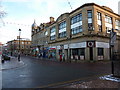
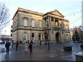
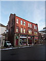
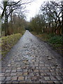
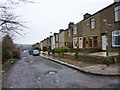
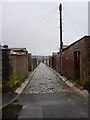
100 photos from this area
Area Information
Key information about the BB5 6TE including its size, population, and administrative classification.
- Area Type
- Postcode
- Area Size
- 1247 m²
- Population
- 1403
- Population Density
- 12296 people/km²
House Prices in BB5 6TE
7
Properties
-
Average Sold Price
-
Lowest Price
-
Highest Price
Showing 7 properties
| Address | Type | Beds | Baths | Last Sale Price | Last Sale Date | |
|---|---|---|---|---|---|---|
| 12 Bertha Street, Accrington, BB5 6TE | Terraced | 4 | 2 | - | - | |
| 2 Bertha Street, Accrington, BB5 6TE | Terraced | 2 | - | - | - | |
| 4 Bertha Street, Accrington, BB5 6TE | Terraced | 2 | - | - | - | |
| 6 Bertha Street, Accrington, BB5 6TE | Terraced | - | - | - | - | |
| 10 Bertha Street, Accrington, BB5 6TE | Terraced | 3 | 1 | - | - | |
| 8 Bertha Street, Accrington, BB5 6TE | house | - | - | - | - | |
| Old Stables Garage, 14 Bertha Street, Accrington, BB5 6TE | shop | - | - | - | - |
Energy Efficiency in BB5 6TE
Amenities
Schools
| Rank | School | Type | Entry gender | Ages |
|---|
Explore more schools in this area
Go to Schools tabDemographics
Household Size
Two person
most common
Accommodation Type
Houses
most common
Tenure
61
majority
Ethnic Group
White
most common
Religion
N/A
most common
Household Composition
N/A
most common
Age
47
median
Adults (30-64 years)
most common
Household Deprivation
N/A
with no deprivation
NS-SEC
20
in Lower managerial occupations