Area Overview for BB5 6DG
Photos of BB5 6DG
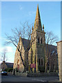
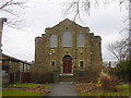
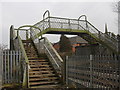
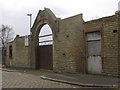
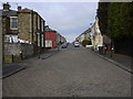
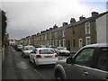
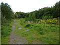

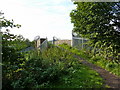
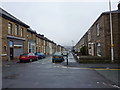
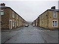
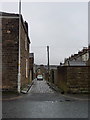
100 photos from this area
Area Information
Key information about the BB5 6DG including its size, population, and administrative classification.
- Area Type
- Postcode
- Area Size
- 5656 m²
- Population
- 1519
- Population Density
- 1083 people/km²
House Prices in BB5 6DG
18
Properties
£129,792
Average Sold Price
£68,000
Lowest Price
£200,000
Highest Price
Showing 18 properties
| Address | Type | Beds | Baths | Last Sale Price | Last Sale Date | |
|---|---|---|---|---|---|---|
| 3 Birkett Road, Accrington, BB5 6DG | Detached | 3 | 1 | £180,000 | May 2025 | |
| 2 Birkett Road, Accrington, BB5 6DG | Bungalow | 3 | 1 | £155,000 | Apr 2025 | |
| 7 Birkett Road, Accrington, BB5 6DG | house | - | - | £150,000 | Dec 2024 | |
| 6 Birkett Road, Accrington, BB5 6DG | Semi-detached | 3 | 1 | £170,000 | Feb 2023 | |
| 15 Birkett Road, Accrington, BB5 6DG | house | - | - | £200,000 | Feb 2022 | |
| 14 Birkett Road, Accrington, BB5 6DG | Semi-detached | 2 | 1 | £125,000 | May 2017 | |
| 5 Birkett Road, Accrington, BB5 6DG | Semi-detached | - | - | £135,000 | Jul 2006 | |
| 12 Birkett Road, Accrington, BB5 6DG | house | - | - | £125,500 | Oct 2005 | |
| 8 Birkett Road, Accrington, BB5 6DG | Semi-detached | 3 | 1 | £109,000 | Jun 2004 | |
| 11 Birkett Road, Accrington, BB5 6DG | Semi-detached | - | - | £70,000 | Jun 2003 |
Page 1 of 2
Energy Efficiency in BB5 6DG
Amenities
Schools
| Rank | School | Type | Entry gender | Ages |
|---|
Explore more schools in this area
Go to Schools tabDemographics
Household Size
Two person
most common
Accommodation Type
Houses
most common
Tenure
85
majority
Ethnic Group
White
most common
Religion
N/A
most common
Household Composition
N/A
most common
Age
47
median
Adults (30-64 years)
most common
Household Deprivation
N/A
with no deprivation
NS-SEC
35
in Lower managerial occupations
Explore more demographic insights in this area
Go to Demographics tabPlanning
Planning Constraints
- Flood RiskPremium
- Ramsar Wetland SitesPremium
- Area of Outstanding Natural BeautyPremium
- Protected Nature ReservePremium
- Protected WoodlandPremium