Area Overview for BB5 6AR
Photos of BB5 6AR
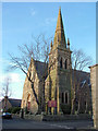
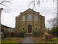
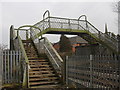
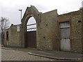
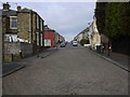
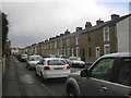
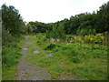

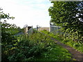
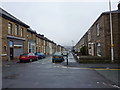
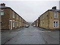
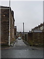
100 photos from this area
Area Information
Key information about the BB5 6AR including its size, population, and administrative classification.
- Area Type
- Postcode
- Area Size
- 1.3 hectares
- Population
- 1642
- Population Density
- 6058 people/km²
House Prices in BB5 6AR
32
Properties
£176,350
Average Sold Price
£55,000
Lowest Price
£350,000
Highest Price
Showing 32 properties
| Address | Type | Beds | Baths | Last Sale Price | Last Sale Date | |
|---|---|---|---|---|---|---|
| 27 Queens Road, Accrington, BB5 6AR | house | 3 | - | £158,000 | Nov 2021 | |
| 33 Queens Road, Accrington, BB5 6AR | house | - | - | £150,000 | Jul 2019 | |
| 11 Queens Road, Accrington, BB5 6AR | house | - | - | £165,000 | Jul 2018 | |
| 25 Queens Road, Accrington, BB5 6AR | house | - | - | £167,000 | Mar 2018 | |
| 39 Queens Road, Accrington, BB5 6AR | Terraced | 3 | 1 | £145,000 | Oct 2017 | |
| 45 Queens Road, Accrington, BB5 6AR | Terraced | 4 | 1 | £143,000 | Jan 2017 | |
| 43 Queens Road, Accrington, BB5 6AR | Terraced | 4 | 1 | £183,000 | Jun 2016 | |
| 63 Queens Road, Accrington, BB5 6AR | house | - | - | £55,000 | Jun 2014 | |
| 37 Queens Road, Accrington, BB5 6AR | house | - | - | £90,000 | Jun 2010 | |
| 13 Queens Road, Accrington, BB5 6AR | house | - | - | £260,000 | Nov 2007 |
Page 1 of 4
Energy Efficiency in BB5 6AR
Amenities
Schools
| Rank | School | Type | Entry gender | Ages |
|---|
Explore more schools in this area
Go to Schools tabDemographics
Household Size
One person
most common
Accommodation Type
Houses
most common
Tenure
70
majority
Ethnic Group
White
most common
Religion
N/A
most common
Household Composition
N/A
most common
Age
47
median
Adults (30-64 years)
most common
Household Deprivation
N/A
with no deprivation
NS-SEC
22
in Lower managerial occupations
Explore more demographic insights in this area
Go to Demographics tabPlanning
Planning Constraints
- Flood RiskPremium
- Ramsar Wetland SitesPremium
- Area of Outstanding Natural BeautyPremium
- Protected Nature ReservePremium
- Protected WoodlandPremium