Area Overview for BB5 0QT
Photos of BB5 0QT
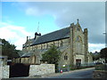
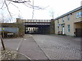
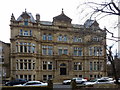
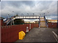
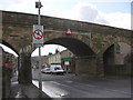
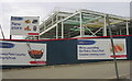
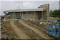
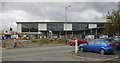
100 photos from this area
Area Information
Key information about the BB5 0QT including its size, population, and administrative classification.
- Area Type
- Postcode
- Area Size
- 6197 m²
- Population
- 2392
- Population Density
- 14903 people/km²
House Prices in BB5 0QT
37
Properties
£52,854
Average Sold Price
£7,000
Lowest Price
£100,000
Highest Price
Showing 37 properties
| Address | Type | Beds | Baths | Last Sale Price | Last Sale Date | |
|---|---|---|---|---|---|---|
| 49 Richmond Hill Street, Accrington, BB5 0QT | house | - | - | £40,000 | May 2025 | |
| 80 Richmond Hill Street, Accrington, BB5 0QT | Terraced | 2 | 1 | £92,500 | May 2024 | |
| 82 Richmond Hill Street, Accrington, BB5 0QT | Terraced | 3 | 1 | £100,000 | Nov 2023 | |
| 88 Richmond Hill Street, Accrington, BB5 0QT | Terraced | 2 | 1 | £52,286 | Sep 2023 | |
| 35 Richmond Hill Street, Accrington, BB5 0QT | Terraced | 2 | 1 | £77,000 | Feb 2023 | |
| 98 Richmond Hill Street, Accrington, BB5 0QT | Terraced | 3 | 1 | £82,000 | Jun 2022 | |
| 78 Richmond Hill Street, Accrington, BB5 0QT | house | - | - | £75,000 | Sep 2021 | |
| 84 Richmond Hill Street, Accrington, BB5 0QT | Terraced | 2 | - | £60,000 | Oct 2017 | |
| 100 Richmond Hill Street, Accrington, BB5 0QT | Terraced | - | - | £50,000 | Oct 2014 | |
| 41 Richmond Hill Street, Accrington, BB5 0QT | house | 2 | - | £45,000 | Apr 2013 |
Page 1 of 4
Energy Efficiency in BB5 0QT
Amenities
Schools
| Rank | School | Type | Entry gender | Ages |
|---|
Explore more schools in this area
Go to Schools tabDemographics
Household Size
Family (3-5 people)
most common
Accommodation Type
Houses
most common
Tenure
61
majority
Ethnic Group
asian_total
most common
Religion
N/A
most common
Household Composition
N/A
most common
Age
22
median
Adults (30-64 years)
most common
Household Deprivation
N/A
with no deprivation
NS-SEC
9
in Lower managerial occupations
Explore more demographic insights in this area
Go to Demographics tabPlanning
Planning Constraints
- Flood RiskPremium
- Ramsar Wetland SitesPremium
- Area of Outstanding Natural BeautyPremium
- Protected Nature ReservePremium
- Protected WoodlandPremium