Area Overview for BB4 9PX
Photos of BB4 9PX
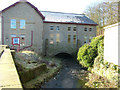
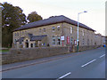
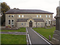
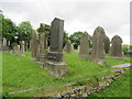
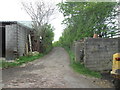
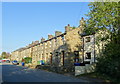
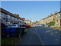
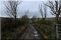
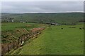
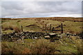
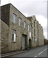
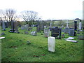
20 photos from this area
Area Information
Key information about the BB4 9PX including its size, population, and administrative classification.
- Area Type
- Postcode
- Area Size
- 5.9 hectares
- Population
- 1422
- Population Density
- 107 people/km²
House Prices in BB4 9PX
32
Properties
£123,393
Average Sold Price
£56,000
Lowest Price
£189,950
Highest Price
Showing 32 properties
| Address | Type | Beds | Baths | Last Sale Price | Last Sale Date | |
|---|---|---|---|---|---|---|
| 1096 Burnley Road East, Waterfoot, Rossendale, BB4 9PX | Terraced | 2 | 1 | £115,000 | Aug 2025 | |
| 1017 Burnley Road East, Waterfoot, Rossendale, BB4 9PX | Detached | 2 | 1 | £105,000 | Dec 2024 | |
| 1086 Burnley Road East, Waterfoot, Rossendale, BB4 9PX | Terraced | 3 | 1 | £189,950 | Aug 2024 | |
| Sunnybank, Burnley Road East, Waterfoot, Rossendale, BB4 9PX | Semi-detached | 2 | 1 | £120,000 | Mar 2023 | |
| 1069 Burnley Road East, Waterfoot, Rossendale, BB4 9PX | Semi-detached | 4 | - | £180,000 | Mar 2021 | |
| 1078 Burnley Road East, Waterfoot, Rossendale, BB4 9PX | house | - | - | £138,000 | Mar 2021 | |
| 1073 Burnley Road East, Waterfoot, Rossendale, BB4 9PX | Terraced | 4 | 3 | £189,950 | Aug 2020 | |
| 1080 Burnley Road East, Waterfoot, Rossendale, BB4 9PX | Terraced | 3 | 1 | £122,000 | Jul 2018 | |
| 1098 Burnley Road East, Waterfoot, Rossendale, BB4 9PX | Cottage | 2 | 1 | £67,000 | Nov 2017 | |
| 1071 Burnley Road East, Waterfoot, Rossendale, BB4 9PX | Terraced | 4 | 3 | £145,000 | Jun 2016 |
Page 1 of 4
Energy Efficiency in BB4 9PX
Amenities
Schools
| Rank | School | Type | Entry gender | Ages |
|---|
Explore more schools in this area
Go to Schools tabDemographics
Household Size
Two person
most common
Accommodation Type
Houses
most common
Tenure
78
majority
Ethnic Group
White
most common
Religion
N/A
most common
Household Composition
N/A
most common
Age
47
median
Adults (30-64 years)
most common
Household Deprivation
N/A
with no deprivation
NS-SEC
34
in Lower managerial occupations
Explore more demographic insights in this area
Go to Demographics tabPlanning
Planning Constraints
- Flood RiskPremium
- Ramsar Wetland SitesPremium
- Area of Outstanding Natural BeautyPremium
- Protected Nature ReservePremium
- Protected WoodlandPremium