Area Overview for BB4 9HU
Photos of BB4 9HU
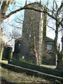
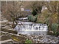
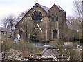
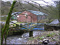
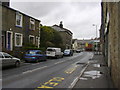
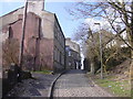


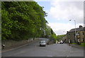
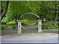
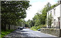
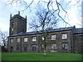
78 photos from this area
Area Information
Key information about the BB4 9HU including its size, population, and administrative classification.
- Area Type
- Postcode
- Area Size
- 5.2 hectares
- Population
- Not available
- Population Density
- Not available
House Prices in BB4 9HU
60
Properties
£77,383
Average Sold Price
£28,000
Lowest Price
£148,500
Highest Price
Showing 60 properties
| Address | Type | Beds | Baths | Last Sale Price | Last Sale Date | |
|---|---|---|---|---|---|---|
| 314 Burnley Road East, Waterfoot, Rossendale, BB4 9HU | Terraced | 2 | 1 | £145,000 | Jan 2025 | |
| 300 Burnley Road East, Waterfoot, Rossendale, BB4 9HU | Terraced | 2 | 1 | £90,000 | Nov 2023 | |
| 294 Burnley Road East, Waterfoot, Rossendale, BB4 9HU | Terraced | 1 | 1 | £90,000 | Sep 2023 | |
| 350 Burnley Road East, Waterfoot, Rossendale, BB4 9HU | Terraced | 4 | 1 | £101,000 | Jan 2021 | |
| 324 Burnley Road East, Waterfoot, Rossendale, BB4 9HU | Terraced | 3 | 1 | £148,500 | Jul 2020 | |
| 320 Burnley Road East, Waterfoot, Rossendale, BB4 9HU | Terraced | 3 | - | £70,000 | Jan 2017 | |
| 292 Burnley Road East, Waterfoot, Rossendale, BB4 9HU | Terraced | 2 | 1 | £67,250 | Dec 2016 | |
| 312 Burnley Road East, Waterfoot, Rossendale, BB4 9HU | house | 2 | - | £80,000 | Apr 2015 | |
| 290 Burnley Road East, Waterfoot, Rossendale, BB4 9HU | house | - | - | £40,000 | May 2014 | |
| 302 Burnley Road East, Waterfoot, Rossendale, BB4 9HU | house | - | - | £82,500 | Sep 2011 |
Page 1 of 6
Energy Efficiency in BB4 9HU
Amenities
Schools
| Rank | School | Type | Entry gender | Ages |
|---|
Explore more schools in this area
Go to Schools tabDemographics
Household Size
One person
most common
Accommodation Type
Houses
most common
Tenure
61
majority
Ethnic Group
White
most common
Religion
N/A
most common
Household Composition
N/A
most common
Age
47
median
Adults (30-64 years)
most common
Household Deprivation
N/A
with no deprivation
NS-SEC
27
in Lower managerial occupations
Explore more demographic insights in this area
Go to Demographics tabPlanning
Planning Constraints
- Flood RiskPremium
- Ramsar Wetland SitesPremium
- Area of Outstanding Natural BeautyPremium
- Protected Nature ReservePremium
- Protected WoodlandPremium