Area Overview for BB4 9AG
Photos of BB4 9AG
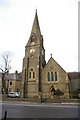
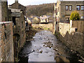
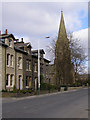
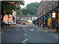
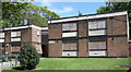
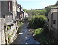
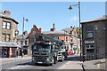
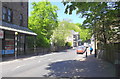
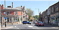
100 photos from this area
Area Information
Key information about the BB4 9AG including its size, population, and administrative classification.
- Area Type
- Postcode
- Area Size
- 6371 m²
- Population
- 1219
- Population Density
- 349 people/km²
House Prices in BB4 9AG
35
Properties
£36,810
Average Sold Price
£1,000
Lowest Price
£70,000
Highest Price
Showing 35 properties
| Address | Type | Beds | Baths | Last Sale Price | Last Sale Date | |
|---|---|---|---|---|---|---|
| 5A Burnley Road East, Waterfoot, Rossendale, BB4 9AG | Flat | 2 | 1 | £50,000 | Mar 2024 | |
| 9A Burnley Road East, Waterfoot, Rossendale, BB4 9AG | Flat | - | - | £1,000 | Feb 2023 | |
| 3A Burnley Road East, Waterfoot, Rossendale, BB4 9AG | Terraced | 3 | 1 | £70,000 | Jun 2017 | |
| 7A Burnley Road East, Waterfoot, Rossendale, BB4 9AG | Flat | - | - | £23,050 | Mar 2014 | |
| 19A Burnley Road East, Waterfoot, Rossendale, BB4 9AG | Terraced | 2 | 1 | £40,000 | Dec 2007 | |
| Flat Above, 29 Burnley Road East, Waterfoot, Rossendale, BB4 9AG | Retail | - | - | - | - | |
| 25 Burnley Road East, Waterfoot, Rossendale, BB4 9AG | Semi-detached | 3 | 1 | - | - | |
| Flat Above, 15 Burnley Road East, Waterfoot, Rossendale, BB4 9AG | Terraced | 1 | 1 | - | - | |
| The Flat, 1 Burnley Road East, Waterfoot, Rossendale, BB4 9AG | Retail | 4 | 2 | - | - | |
| ROOM 1 FIRST FLOOR, 29A BURNLEY ROAD EAST, Waterfoot, Rossendale, BB4 9AG | Flat | - | - | - | - |
Page 1 of 4
Energy Efficiency in BB4 9AG
Amenities
Schools
| Rank | School | Type | Entry gender | Ages |
|---|
Explore more schools in this area
Go to Schools tabDemographics
Household Size
One person
most common
Accommodation Type
Houses
most common
Tenure
66
majority
Ethnic Group
White
most common
Religion
N/A
most common
Household Composition
N/A
most common
Age
47
median
Adults (30-64 years)
most common
Household Deprivation
N/A
with no deprivation
NS-SEC
32
in Lower managerial occupations
Explore more demographic insights in this area
Go to Demographics tabPlanning
Planning Constraints
- Flood RiskPremium
- Ramsar Wetland SitesPremium
- Area of Outstanding Natural BeautyPremium
- Protected Nature ReservePremium
- Protected WoodlandPremium