Area Overview for BB4 7JZ
Photos of BB4 7JZ
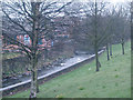
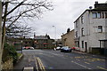
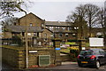
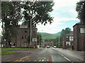
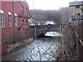
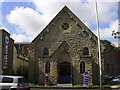
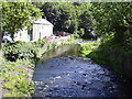
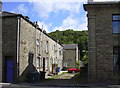
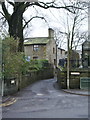
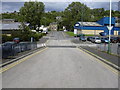
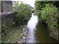
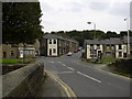
83 photos from this area
Area Information
Key information about the BB4 7JZ including its size, population, and administrative classification.
- Area Type
- Postcode
- Area Size
- 1.4 hectares
- Population
- 1411
- Population Density
- 2719 people/km²
House Prices in BB4 7JZ
23
Properties
£195,514
Average Sold Price
£75,000
Lowest Price
£715,000
Highest Price
Showing 23 properties
| Address | Type | Beds | Baths | Last Sale Price | Last Sale Date | |
|---|---|---|---|---|---|---|
| 19 Hareholme Lane, Cloughfold, Rossendale, BB4 7JZ | Terraced | 3 | 1 | £220,000 | Jul 2024 | |
| 1 Hareholme Lane, Cloughfold, Rossendale, BB4 7JZ | Semi-detached | 3 | 1 | £242,000 | Oct 2023 | |
| 7 Hareholme Lane, Cloughfold, Rossendale, BB4 7JZ | Terraced | 3 | 1 | £203,225 | Oct 2023 | |
| 10 Hareholme Lane, Cloughfold, Rossendale, BB4 7JZ | house | - | - | £120,000 | Jan 2023 | |
| 25 Hareholme Lane, Cloughfold, Rossendale, BB4 7JZ | house | - | - | £220,000 | Jul 2022 | |
| 2 Hareholme Lane, Cloughfold, Rossendale, BB4 7JZ | Terraced | 2 | 1 | £149,000 | Apr 2022 | |
| 8 Hareholme Lane, Cloughfold, Rossendale, BB4 7JZ | house | 3 | - | £100,000 | Mar 2021 | |
| 11 Hareholme Lane, Cloughfold, Rossendale, BB4 7JZ | Terraced | 3 | 1 | £140,000 | Oct 2019 | |
| 17 Hareholme Lane, Cloughfold, Rossendale, BB4 7JZ | Terraced | 3 | 1 | £110,000 | Jan 2017 | |
| Whinberry View, Hareholme Lane, Cloughfold, Rossendale, BB4 7JZ | Detached | 5 | 3 | £380,000 | Jan 2016 |
Page 1 of 3
Energy Efficiency in BB4 7JZ
Amenities
Schools
| Rank | School | Type | Entry gender | Ages |
|---|
Explore more schools in this area
Go to Schools tabDemographics
Household Size
One person
most common
Accommodation Type
Houses
most common
Tenure
51
majority
Ethnic Group
White
most common
Religion
N/A
most common
Household Composition
N/A
most common
Age
47
median
Adults (30-64 years)
most common
Household Deprivation
N/A
with no deprivation
NS-SEC
23
in Lower managerial occupations
Explore more demographic insights in this area
Go to Demographics tabPlanning
Planning Constraints
- Flood RiskPremium
- Ramsar Wetland SitesPremium
- Area of Outstanding Natural BeautyPremium
- Protected Nature ReservePremium
- Protected WoodlandPremium