Area Overview for BB4 7AF
Photos of BB4 7AF
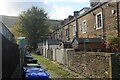
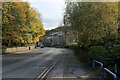
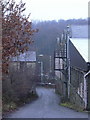
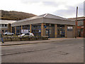
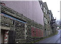
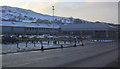
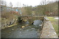
18 photos from this area
Area Information
Key information about the BB4 7AF including its size, population, and administrative classification.
- Area Type
- Postcode
- Area Size
- 1.5 km²
- Population
- 2697
- Population Density
- 867 people/km²
House Prices in BB4 7AF
19
Properties
£320,167
Average Sold Price
£100,000
Lowest Price
£547,000
Highest Price
Showing 19 properties
| Address | Type | Beds | Baths | Last Sale Price | Last Sale Date | |
|---|---|---|---|---|---|---|
| Higher Lench Cottage, Lench Road, Rawtenstall, Rossendale, BB4 7AF | Retail | 4 | 3 | £547,000 | Oct 2022 | |
| Lower Tippett Farm, Cowpe Road, Cowpe, Rossendale, BB4 7AF | Detached | - | - | £100,000 | Dec 2019 | |
| Higher Lench House, Lench Road, Rawtenstall, Rossendale, BB4 7AF | Semi-detached | 3 | 2 | £320,000 | Nov 2019 | |
| Higher Lench Barn, Lench Road, Rawtenstall, Rossendale, BB4 7AF | Detached | - | - | £340,000 | Aug 2013 | |
| Holly Farm, Lench Road, Rawtenstall, Rossendale, BB4 7AF | Detached | - | - | £415,000 | Nov 2005 | |
| Middle Lench Barn, Lench Road, Rawtenstall, Rossendale, BB4 7AF | house | - | - | £199,000 | May 2000 | |
| Lower Lench Farm, Lench Fold Clough, Cowpe Road, Cowpe, Rossendale, BB4 7AF | Detached | 3 | 2 | - | - | |
| Higher Lench Farm, Lench Road, Rawtenstall, Rossendale, BB4 7AF | Semi-detached | 3 | 1 | - | - | |
| The Barn, Lench Fold Clough, Cowpe Road, Cowpe, Rossendale, BB4 7AF | Detached | 4 | 4 | - | - | |
| Lench Fold Farm, Lench Fold Clough, Cowpe Road, Cowpe, Rossendale, BB4 7AF | Land | - | - | - | - |
Page 1 of 2
Energy Efficiency in BB4 7AF
Amenities
Schools
| Rank | School | Type | Entry gender | Ages |
|---|
Explore more schools in this area
Go to Schools tabDemographics
Household Size
One person
most common
Accommodation Type
Houses
most common
Tenure
65
majority
Ethnic Group
White
most common
Religion
N/A
most common
Household Composition
N/A
most common
Age
47
median
Adults (30-64 years)
most common
Household Deprivation
N/A
with no deprivation
NS-SEC
32
in Lower managerial occupations
Explore more demographic insights in this area
Go to Demographics tabPlanning
Planning Constraints
- Flood RiskPremium
- Ramsar Wetland SitesPremium
- Area of Outstanding Natural BeautyPremium
- Protected Nature ReservePremium
- Protected WoodlandPremium