Area Overview for BB4 5LU
Photos of BB4 5LU

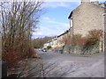
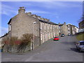
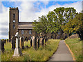

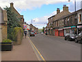
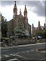
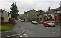
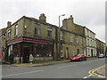
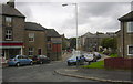
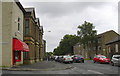
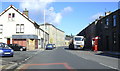
100 photos from this area
Area Information
Key information about the BB4 5LU including its size, population, and administrative classification.
- Area Type
- Postcode
- Area Size
- 9550 m²
- Population
- 1384
- Population Density
- 6990 people/km²
House Prices in BB4 5LU
57
Properties
£71,271
Average Sold Price
£700
Lowest Price
£140,000
Highest Price
Showing 57 properties
| Address | Type | Beds | Baths | Last Sale Price | Last Sale Date | |
|---|---|---|---|---|---|---|
| 41 Piccadilly Street, Haslingden, Rossendale, BB4 5LU | house | - | - | £140,000 | Aug 2025 | |
| 54 Piccadilly Street, Haslingden, Rossendale, BB4 5LU | Terraced | 2 | 1 | £130,000 | Jul 2025 | |
| 12 Piccadilly Street, Haslingden, Rossendale, BB4 5LU | house | - | - | £105,000 | Jul 2025 | |
| 18 Piccadilly Street, Haslingden, Rossendale, BB4 5LU | Terraced | 3 | 1 | £115,000 | Jun 2025 | |
| 31 Piccadilly Street, Haslingden, Rossendale, BB4 5LU | house | 2 | 1 | £92,500 | May 2022 | |
| 50 Piccadilly Street, Haslingden, Rossendale, BB4 5LU | Terraced | 2 | 1 | £77,000 | Jan 2022 | |
| 5 Piccadilly Street, Haslingden, Rossendale, BB4 5LU | house | - | - | £98,000 | Dec 2021 | |
| 58 Piccadilly Street, Haslingden, Rossendale, BB4 5LU | Terraced | 2 | 1 | £116,000 | Nov 2021 | |
| 1 Piccadilly Street, Haslingden, Rossendale, BB4 5LU | Terraced | 2 | 1 | £126,000 | Sep 2021 | |
| 36 Piccadilly Street, Haslingden, Rossendale, BB4 5LU | Terraced | 2 | 1 | £94,000 | Jul 2021 |
Page 1 of 6
Energy Efficiency in BB4 5LU
Amenities
Schools
| Rank | School | Type | Entry gender | Ages |
|---|
Explore more schools in this area
Go to Schools tabDemographics
Household Size
Family (3-5 people)
most common
Accommodation Type
Houses
most common
Tenure
56
majority
Ethnic Group
White
most common
Religion
N/A
most common
Household Composition
N/A
most common
Age
47
median
Adults (30-64 years)
most common
Household Deprivation
N/A
with no deprivation
NS-SEC
22
in Lower managerial occupations
Explore more demographic insights in this area
Go to Demographics tabPlanning
Planning Constraints
- Flood RiskPremium
- Ramsar Wetland SitesPremium
- Area of Outstanding Natural BeautyPremium
- Protected Nature ReservePremium
- Protected WoodlandPremium