Area Overview for BB4 4RL
Photos of BB4 4RL
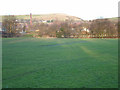
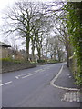
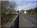
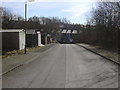
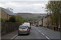
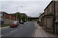
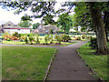
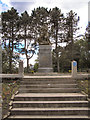
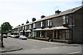
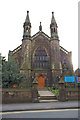
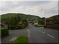
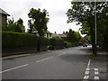
100 photos from this area
Area Information
Key information about the BB4 4RL including its size, population, and administrative classification.
- Area Type
- Postcode
- Area Size
- 5799 m²
- Population
- 1559
- Population Density
- 133 people/km²
House Prices in BB4 4RL
19
Properties
£151,029
Average Sold Price
£45,000
Lowest Price
£299,950
Highest Price
Showing 19 properties
| Address | Type | Beds | Baths | Last Sale Price | Last Sale Date | |
|---|---|---|---|---|---|---|
| 84 Mercer Crescent, Haslingden, Rossendale, BB4 4RL | Detached | 3 | 1 | £286,000 | Sep 2024 | |
| 90 Mercer Crescent, Haslingden, Rossendale, BB4 4RL | house | - | - | £299,950 | Jan 2022 | |
| 103 Mercer Crescent, Haslingden, Rossendale, BB4 4RL | Detached | 3 | 1 | £205,000 | Apr 2019 | |
| 115 Mercer Crescent, Haslingden, Rossendale, BB4 4RL | Detached | 3 | 2 | £235,000 | Oct 2018 | |
| 87 Mercer Crescent, Haslingden, Rossendale, BB4 4RL | Semi-detached | 2 | 1 | £124,000 | Feb 2018 | |
| 107 Mercer Crescent, Haslingden, Rossendale, BB4 4RL | Detached | 3 | 3 | £189,500 | Dec 2016 | |
| 91 Mercer Crescent, Haslingden, Rossendale, BB4 4RL | Semi-detached | 2 | 1 | £117,000 | Dec 2016 | |
| 113 Mercer Crescent, Haslingden, Rossendale, BB4 4RL | house | - | - | £165,000 | Jun 2014 | |
| 86 Mercer Crescent, Haslingden, Rossendale, BB4 4RL | Detached | 3 | 3 | £50,000 | Jan 2010 | |
| 97 Mercer Crescent, Haslingden, Rossendale, BB4 4RL | Semi-detached | - | - | £113,950 | Oct 2004 |
Page 1 of 2
Energy Efficiency in BB4 4RL
Amenities
Schools
| Rank | School | Type | Entry gender | Ages |
|---|
Explore more schools in this area
Go to Schools tabDemographics
Household Size
Two person
most common
Accommodation Type
Houses
most common
Tenure
86
majority
Ethnic Group
White
most common
Religion
N/A
most common
Household Composition
N/A
most common
Age
47
median
Adults (30-64 years)
most common
Household Deprivation
N/A
with no deprivation
NS-SEC
44
in Lower managerial occupations
Explore more demographic insights in this area
Go to Demographics tabPlanning
Planning Constraints
- Flood RiskPremium
- Ramsar Wetland SitesPremium
- Area of Outstanding Natural BeautyPremium
- Protected Nature ReservePremium
- Protected WoodlandPremium