Area Overview for BB12 9JU
Photos of BB12 9JU
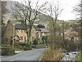
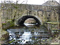
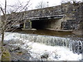
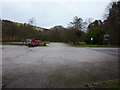
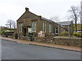
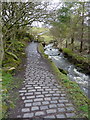
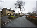
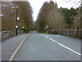
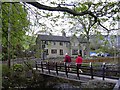
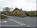
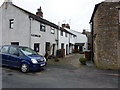
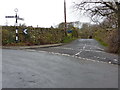
100 photos from this area
Area Information
Key information about the BB12 9JU including its size, population, and administrative classification.
- Area Type
- Postcode
- Area Size
- 10.3 hectares
- Population
- 1714
- Population Density
- 60 people/km²
House Prices in BB12 9JU
17
Properties
£354,370
Average Sold Price
£110,000
Lowest Price
£490,350
Highest Price
Showing 17 properties
| Address | Type | Beds | Baths | Last Sale Price | Last Sale Date | |
|---|---|---|---|---|---|---|
| Barley Green Barn, Barley Green, Barley, BB12 9JU | Semi-detached | 4 | 2 | £490,350 | Jan 2024 | |
| Barley Green Cottage, Barley Green, Barley, BB12 9JU | house | 3 | 1 | £110,000 | May 2023 | |
| Meadow View, Barley Green, Barley, BB12 9JU | Semi-detached | 3 | - | £335,000 | Feb 2021 | |
| Barley Green Farmhouse, Barley Green, Barley, BB12 9JU | house | - | - | £460,000 | Dec 2020 | |
| Filter Cottage, Barley Green, Barley, BB12 9JU | Detached | 4 | - | £376,500 | Jul 2014 | |
| 6, Barley Green Mill, Barley Green, Barley, BB12 9JU | Terraced | 3 | 2 | - | - | |
| Pendle View, Barley Green, Barley, BB12 9JU | Semi-detached | 3 | 1 | - | - | |
| 1, Barley Green Mill, Barley Green, Barley, BB12 9JU | Semi-detached | 3 | - | - | - | |
| Former Filter House, Barley Green, Barley, BB12 9JU | undefined | - | - | - | - | |
| 3 Barley Green, Barley, BB12 9JU | house | - | - | - | - |
Page 1 of 2
Energy Efficiency in BB12 9JU
Amenities
Schools
| Rank | School | Type | Entry gender | Ages |
|---|
Explore more schools in this area
Go to Schools tabDemographics
Household Size
Two person
most common
Accommodation Type
Houses
most common
Tenure
83
majority
Ethnic Group
White
most common
Religion
N/A
most common
Household Composition
N/A
most common
Age
47
median
Adults (30-64 years)
most common
Household Deprivation
N/A
with no deprivation
NS-SEC
46
in Lower managerial occupations
Explore more demographic insights in this area
Go to Demographics tabPlanning
Planning Constraints
- Flood RiskPremium
- Ramsar Wetland SitesPremium
- Area of Outstanding Natural BeautyPremium
- Protected Nature ReservePremium
- Protected WoodlandPremium