Area Overview for BB12 8LB
Photos of BB12 8LB
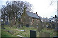
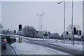
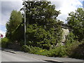
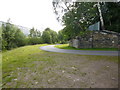
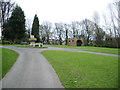
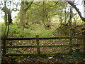
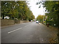
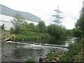
45 photos from this area
Area Information
Key information about the BB12 8LB including its size, population, and administrative classification.
- Area Type
- Postcode
- Area Size
- 1534 m²
- Population
- 1266
- Population Density
- 722 people/km²
House Prices in BB12 8LB
7
Properties
£111,121
Average Sold Price
£35,900
Lowest Price
£165,000
Highest Price
Showing 7 properties
| Address | Type | Beds | Baths | Last Sale Price | Last Sale Date | |
|---|---|---|---|---|---|---|
| 9 Arbories Avenue, Padiham, BB12 8LB | Terraced | 2 | 1 | £145,000 | Sep 2024 | |
| 3 Arbories Avenue, Padiham, BB12 8LB | Terraced | 2 | 1 | £165,000 | Jul 2022 | |
| 7 Arbories Avenue, Padiham, BB12 8LB | house | - | - | £100,000 | Dec 2020 | |
| 5 Arbories Avenue, Padiham, BB12 8LB | house | 2 | - | £115,000 | Oct 2019 | |
| 11 Arbories Avenue, Padiham, BB12 8LB | house | 2 | - | £119,000 | Oct 2015 | |
| 13 Arbories Avenue, Padiham, BB12 8LB | Terraced | - | - | £97,950 | Jun 2005 | |
| 1 Arbories Avenue, Padiham, BB12 8LB | house | - | - | £35,900 | Mar 2000 |
Energy Efficiency in BB12 8LB
Amenities
Schools
| Rank | School | Type | Entry gender | Ages |
|---|
Explore more schools in this area
Go to Schools tabDemographics
Household Size
One person
most common
Accommodation Type
Houses
most common
Tenure
64
majority
Ethnic Group
White
most common
Religion
N/A
most common
Household Composition
N/A
most common
Age
47
median
Adults (30-64 years)
most common
Household Deprivation
N/A
with no deprivation
NS-SEC
30
in Lower managerial occupations
Explore more demographic insights in this area
Go to Demographics tabPlanning
Planning Constraints
- Flood RiskPremium
- Ramsar Wetland SitesPremium
- Area of Outstanding Natural BeautyPremium
- Protected Nature ReservePremium
- Protected WoodlandPremium