Area Overview for BB11 5QJ
Photos of BB11 5QJ
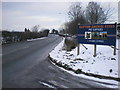
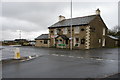
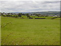
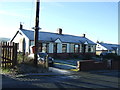
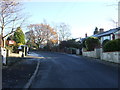
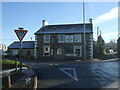
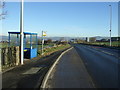
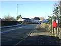
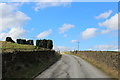
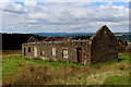
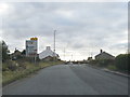
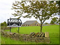
28 photos from this area
Area Information
Key information about the BB11 5QJ including its size, population, and administrative classification.
- Area Type
- Postcode
- Area Size
- 93.5 hectares
- Population
- 1891
- Population Density
- 154 people/km²
House Prices in BB11 5QJ
16
Properties
£339,333
Average Sold Price
£250,000
Lowest Price
£495,000
Highest Price
Showing 16 properties
| Address | Type | Beds | Baths | Last Sale Price | Last Sale Date | |
|---|---|---|---|---|---|---|
| 64 Accrington Road, Hapton, BB11 5QJ | general_industrial | - | - | £495,000 | Sep 2020 | |
| Oakdene, 62 Accrington Road, Hapton, BB11 5QJ | Bungalow | 4 | - | £273,000 | Dec 2014 | |
| Horse Hill Bungalow, Accrington Road, Hapton, BB11 5QJ | Detached | 4 | 2 | £250,000 | Nov 2014 | |
| 2, Horse Hill Farm Barn, Accrington Road, Hapton, BB11 5QJ | Semi-detached | 4 | 3 | - | - | |
| Former Hillside Farm, Watson Laithe, Accrington Road, Hapton, BB11 5QJ | undefined | - | - | - | - | |
| Former Old Barn Farm, Accrington Road, Hapton, BB11 5QJ | Semi-detached | 3 | - | - | - | |
| Horse Hill Farm Barn, Accrington Road, Hapton, BB11 5QJ | undefined | - | - | - | - | |
| 1, Horse Hill Farm Barn, Accrington Road, Hapton, BB11 5QJ | Detached | - | - | - | - | |
| 2, The Barns, Accrington Road, Hapton, BB11 5QJ | Bungalow | - | - | - | - | |
| Annexe, Quarry Field, Accrington Road, Hapton, BB11 5QJ | Flat | - | - | - | - |
Page 1 of 2
Energy Efficiency in BB11 5QJ
Amenities
Schools
| Rank | School | Type | Entry gender | Ages |
|---|
Explore more schools in this area
Go to Schools tabDemographics
Household Size
Two person
most common
Accommodation Type
Houses
most common
Tenure
80
majority
Ethnic Group
White
most common
Religion
N/A
most common
Household Composition
N/A
most common
Age
47
median
Adults (30-64 years)
most common
Household Deprivation
N/A
with no deprivation
NS-SEC
36
in Lower managerial occupations
Explore more demographic insights in this area
Go to Demographics tabPlanning
Planning Constraints
- Flood RiskPremium
- Ramsar Wetland SitesPremium
- Area of Outstanding Natural BeautyPremium
- Protected Nature ReservePremium
- Protected WoodlandPremium