Area Overview for BB11 5LA
Photos of BB11 5LA
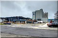
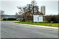
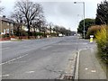
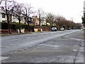
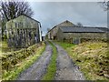
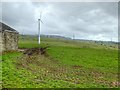
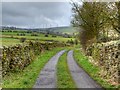
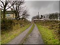
28 photos from this area
Area Information
Key information about the BB11 5LA including its size, population, and administrative classification.
- Area Type
- Postcode
- Area Size
- 1.6 hectares
- Population
- 1726
- Population Density
- 3038 people/km²
House Prices in BB11 5LA
77
Properties
£56,134
Average Sold Price
£17,000
Lowest Price
£123,000
Highest Price
Showing 77 properties
| Address | Type | Beds | Baths | Last Sale Price | Last Sale Date | |
|---|---|---|---|---|---|---|
| 42 Heather Bank, Burnley, BB11 5LA | Terraced | 2 | 1 | £95,000 | Mar 2025 | |
| 15 Heather Bank, Burnley, BB11 5LA | Terraced | 2 | 1 | £123,000 | Dec 2024 | |
| 32 Heather Bank, Burnley, BB11 5LA | Terraced | 2 | 1 | £85,000 | Sep 2024 | |
| 36 Heather Bank, Burnley, BB11 5LA | house | - | - | £110,000 | Feb 2024 | |
| 27 Heather Bank, Burnley, BB11 5LA | Bungalow | - | - | £72,000 | Nov 2022 | |
| 23 Heather Bank, Burnley, BB11 5LA | Flat | 2 | - | £90,000 | Jun 2022 | |
| 40 Heather Bank, Burnley, BB11 5LA | house | - | - | £75,000 | May 2019 | |
| 38 Heather Bank, Burnley, BB11 5LA | house | 2 | 1 | £80,000 | Feb 2019 | |
| 7 Heather Bank, Burnley, BB11 5LA | house | - | - | £39,995 | Mar 2015 | |
| 16 Heather Bank, Burnley, BB11 5LA | Detached | 2 | 1 | £70,000 | Jan 2012 |
Page 1 of 8
Energy Efficiency in BB11 5LA
Amenities
Schools
| Rank | School | Type | Entry gender | Ages |
|---|
Explore more schools in this area
Go to Schools tabDemographics
Household Size
Family (3-5 people)
most common
Accommodation Type
Houses
most common
Tenure
34
majority
Ethnic Group
White
most common
Religion
N/A
most common
Household Composition
N/A
most common
Age
47
median
Adults (30-64 years)
most common
Household Deprivation
N/A
with no deprivation
NS-SEC
11
in Lower managerial occupations
Explore more demographic insights in this area
Go to Demographics tabPlanning
Planning Constraints
- Flood RiskPremium
- Ramsar Wetland SitesPremium
- Area of Outstanding Natural BeautyPremium
- Protected Nature ReservePremium
- Protected WoodlandPremium