Area Overview for BB11 2QP
Photos of BB11 2QP
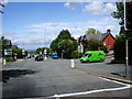
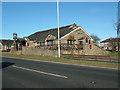
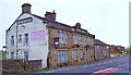
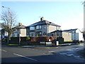
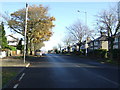
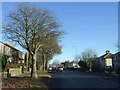
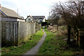
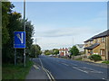
35 photos from this area
Area Information
Key information about the BB11 2QP including its size, population, and administrative classification.
- Area Type
- Postcode
- Area Size
- 1.4 hectares
- Population
- 1279
- Population Density
- 5248 people/km²
House Prices in BB11 2QP
33
Properties
£107,151
Average Sold Price
£45,000
Lowest Price
£275,500
Highest Price
Showing 33 properties
| Address | Type | Beds | Baths | Last Sale Price | Last Sale Date | |
|---|---|---|---|---|---|---|
| 106 Glen View Road, Burnley, BB11 2QP | Semi-detached | 2 | 2 | £160,000 | Nov 2025 | |
| 86 Glen View Road, Burnley, BB11 2QP | house | - | - | £120,000 | Feb 2024 | |
| 102 Glen View Road, Burnley, BB11 2QP | Terraced | 3 | 1 | £107,100 | Jan 2024 | |
| 108 Glen View Road, Burnley, BB11 2QP | Semi-detached | 3 | 1 | £124,620 | Jun 2022 | |
| 80 Glen View Road, Burnley, BB11 2QP | house | - | - | £275,500 | Jun 2022 | |
| 70 Glen View Road, Burnley, BB11 2QP | Terraced | 2 | 1 | £88,000 | Jun 2021 | |
| 110 Glen View Road, Burnley, BB11 2QP | Semi-detached | 3 | 1 | £72,250 | Apr 2021 | |
| 72 Glen View Road, Burnley, BB11 2QP | Terraced | 2 | 1 | £120,000 | Jan 2019 | |
| 76 Glen View Road, Burnley, BB11 2QP | Terraced | 2 | - | £102,000 | Nov 2017 | |
| 78 Glen View Road, Burnley, BB11 2QP | Terraced | 2 | 1 | £105,000 | Mar 2015 |
Page 1 of 4
Energy Efficiency in BB11 2QP
Amenities
Schools
| Rank | School | Type | Entry gender | Ages |
|---|
Explore more schools in this area
Go to Schools tabDemographics
Household Size
Family (3-5 people)
most common
Accommodation Type
Houses
most common
Tenure
58
majority
Ethnic Group
White
most common
Religion
N/A
most common
Household Composition
N/A
most common
Age
47
median
Adults (30-64 years)
most common
Household Deprivation
N/A
with no deprivation
NS-SEC
21
in Lower managerial occupations
Explore more demographic insights in this area
Go to Demographics tabPlanning
Planning Constraints
- Flood RiskPremium
- Ramsar Wetland SitesPremium
- Area of Outstanding Natural BeautyPremium
- Protected Nature ReservePremium
- Protected WoodlandPremium