Area Overview for BB11 2NH
Photos of BB11 2NH
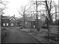
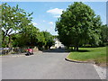
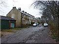
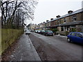
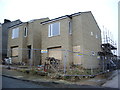
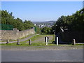
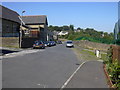
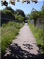
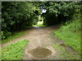
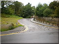
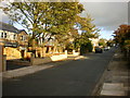
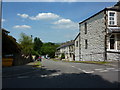
70 photos from this area
Area Information
Key information about the BB11 2NH including its size, population, and administrative classification.
- Area Type
- Postcode
- Area Size
- 5361 m²
- Population
- 1271
- Population Density
- 5741 people/km²
House Prices in BB11 2NH
27
Properties
£93,473
Average Sold Price
£33,200
Lowest Price
£140,000
Highest Price
Showing 27 properties
| Address | Type | Beds | Baths | Last Sale Price | Last Sale Date | |
|---|---|---|---|---|---|---|
| 22 Gainsborough Avenue, Burnley, BB11 2NH | Terraced | 3 | 1 | £119,889 | Jun 2025 | |
| 26 Gainsborough Avenue, Burnley, BB11 2NH | house | - | - | £102,000 | Mar 2025 | |
| 14 Gainsborough Avenue, Burnley, BB11 2NH | Terraced | 2 | 1 | £133,000 | Jan 2023 | |
| 16 Gainsborough Avenue, Burnley, BB11 2NH | house | - | - | £130,000 | Jun 2022 | |
| 5 Gainsborough Avenue, Burnley, BB11 2NH | Retail | 3 | 1 | £137,000 | May 2022 | |
| 10 Gainsborough Avenue, Burnley, BB11 2NH | house | - | - | £120,000 | Aug 2021 | |
| 12 Gainsborough Avenue, Burnley, BB11 2NH | Terraced | 3 | 1 | £82,000 | Mar 2021 | |
| 30 Gainsborough Avenue, Burnley, BB11 2NH | Terraced | 3 | 2 | £125,000 | Dec 2020 | |
| 20 Gainsborough Avenue, Burnley, BB11 2NH | Terraced | 3 | 1 | £89,950 | Dec 2019 | |
| 6 Gainsborough Avenue, Burnley, BB11 2NH | Terraced | 2 | 1 | £90,000 | Apr 2017 |
Page 1 of 3
Energy Efficiency in BB11 2NH
Amenities
Schools
| Rank | School | Type | Entry gender | Ages |
|---|
Explore more schools in this area
Go to Schools tabDemographics
Household Size
Family (3-5 people)
most common
Accommodation Type
Houses
most common
Tenure
89
majority
Ethnic Group
White
most common
Religion
N/A
most common
Household Composition
N/A
most common
Age
47
median
Adults (30-64 years)
most common
Household Deprivation
N/A
with no deprivation
NS-SEC
35
in Lower managerial occupations
Explore more demographic insights in this area
Go to Demographics tabPlanning
Planning Constraints
- Flood RiskPremium
- Ramsar Wetland SitesPremium
- Area of Outstanding Natural BeautyPremium
- Protected Nature ReservePremium
- Protected WoodlandPremium