Area Overview for BB10 2QS
Photos of BB10 2QS
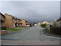
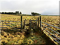
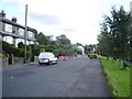
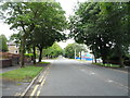
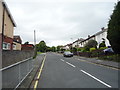
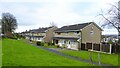
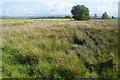
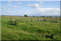
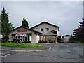
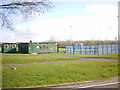
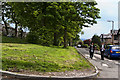
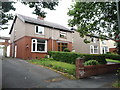
15 photos from this area
Area Information
Key information about the BB10 2QS including its size, population, and administrative classification.
- Area Type
- Postcode
- Area Size
- 1.8 hectares
- Population
- 1600
- Population Density
- 3720 people/km²
House Prices in BB10 2QS
15
Properties
£290,944
Average Sold Price
£85,000
Lowest Price
£550,000
Highest Price
Showing 15 properties
| Address | Type | Beds | Baths | Last Sale Price | Last Sale Date | |
|---|---|---|---|---|---|---|
| 51 Reedley Drive, Reedley, Burnley, BB10 2QS | Land | 3 | 1 | £400,000 | Sep 2025 | |
| 62 Reedley Drive, Reedley, Burnley, BB10 2QS | Bungalow | 3 | 1 | £295,000 | Nov 2023 | |
| 49 Reedley Drive, Reedley, Burnley, BB10 2QS | Land | 1 | 1 | £325,000 | Aug 2023 | |
| Sherwood, Reedley Drive, Reedley, Burnley, BB10 2QS | Detached | 4 | - | £550,000 | Mar 2018 | |
| 55 Reedley Drive, Reedley, Burnley, BB10 2QS | house | - | - | £280,000 | Oct 2009 | |
| 67 Reedley Drive, Reedley, Burnley, BB10 2QS | Bungalow | - | - | £275,000 | Jan 2008 | |
| 53 Reedley Drive, Reedley, Burnley, BB10 2QS | house | - | - | £285,000 | Nov 2006 | |
| 56 Reedley Drive, Reedley, Burnley, BB10 2QS | house | - | - | £123,500 | Nov 2000 | |
| 59 Reedley Drive, Reedley, Burnley, BB10 2QS | Semi-detached | - | - | £85,000 | Jun 1995 | |
| 57 Reedley Drive, Reedley, Burnley, BB10 2QS | Semi-detached | 3 | 1 | - | - |
Page 1 of 2
Energy Efficiency in BB10 2QS
Amenities
Schools
| Rank | School | Type | Entry gender | Ages |
|---|
Explore more schools in this area
Go to Schools tabDemographics
Household Size
Two person
most common
Accommodation Type
Houses
most common
Tenure
89
majority
Ethnic Group
asian_total
most common
Religion
N/A
most common
Household Composition
N/A
most common
Age
47
median
Adults (30-64 years)
most common
Household Deprivation
N/A
with no deprivation
NS-SEC
33
in Lower managerial occupations
Explore more demographic insights in this area
Go to Demographics tabPlanning
Planning Constraints
- Flood RiskPremium
- Ramsar Wetland SitesPremium
- Area of Outstanding Natural BeautyPremium
- Protected Nature ReservePremium
- Protected WoodlandPremium