Area Overview for BB10 2JF
Photos of BB10 2JF
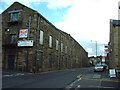
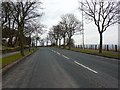
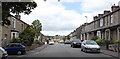
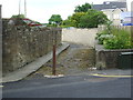
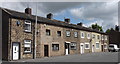
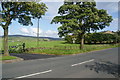
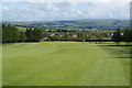
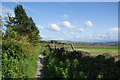
29 photos from this area
Area Information
Key information about the BB10 2JF including its size, population, and administrative classification.
- Area Type
- Postcode
- Area Size
- 1.5 hectares
- Population
- 1472
- Population Density
- 5874 people/km²
House Prices in BB10 2JF
51
Properties
£95,336
Average Sold Price
£16,500
Lowest Price
£480,000
Highest Price
Showing 51 properties
| Address | Type | Beds | Baths | Last Sale Price | Last Sale Date | |
|---|---|---|---|---|---|---|
| 45 Burnley Road, Briercliffe, BB10 2JF | Terraced | 2 | 1 | £134,950 | Mar 2025 | |
| 23 Burnley Road, Briercliffe, BB10 2JF | Terraced | 2 | 1 | £91,500 | Oct 2024 | |
| 56 Burnley Road, Briercliffe, BB10 2JF | Terraced | 2 | 1 | £139,000 | Jun 2024 | |
| 52 Burnley Road, Briercliffe, BB10 2JF | Semi-detached | 3 | 1 | £145,000 | Jun 2024 | |
| 11 Burnley Road, Briercliffe, BB10 2JF | Terraced | 2 | 1 | £64,500 | Mar 2024 | |
| 74 Burnley Road, Briercliffe, BB10 2JF | Terraced | 2 | 1 | £76,000 | Mar 2024 | |
| 84 Burnley Road, Briercliffe, BB10 2JF | house | - | - | £70,000 | Nov 2023 | |
| 43 Burnley Road, Briercliffe, BB10 2JF | Terraced | 2 | 1 | £135,000 | Oct 2023 | |
| 50 Burnley Road, Briercliffe, BB10 2JF | Semi-detached | 3 | 1 | £174,000 | May 2023 | |
| Haggate House Farm Barn, Burnley Road, Briercliffe, BB10 2JF | Retail | 7 | 3 | £480,000 | Oct 2022 |
Page 1 of 6
Energy Efficiency in BB10 2JF
Amenities
Schools
| Rank | School | Type | Entry gender | Ages |
|---|
Explore more schools in this area
Go to Schools tabDemographics
Household Size
Two person
most common
Accommodation Type
Houses
most common
Tenure
70
majority
Ethnic Group
White
most common
Religion
N/A
most common
Household Composition
N/A
most common
Age
47
median
Adults (30-64 years)
most common
Household Deprivation
N/A
with no deprivation
NS-SEC
29
in Lower managerial occupations
Explore more demographic insights in this area
Go to Demographics tabPlanning
Planning Constraints
- Flood RiskPremium
- Ramsar Wetland SitesPremium
- Area of Outstanding Natural BeautyPremium
- Protected Nature ReservePremium
- Protected WoodlandPremium