Area Overview for BB10 1NE
Photos of BB10 1NE
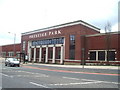
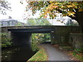
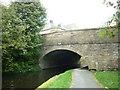
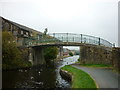
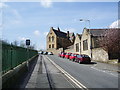
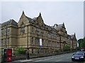
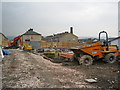
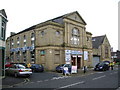
100 photos from this area
Area Information
Key information about the BB10 1NE including its size, population, and administrative classification.
- Area Type
- Postcode
- Area Size
- 1535 m²
- Population
- 1909
- Population Density
- 11236 people/km²
House Prices in BB10 1NE
12
Properties
£44,964
Average Sold Price
£25,000
Lowest Price
£62,000
Highest Price
Showing 12 properties
| Address | Type | Beds | Baths | Last Sale Price | Last Sale Date | |
|---|---|---|---|---|---|---|
| 3 Altham Street, Burnley, BB10 1NE | house | - | - | £62,000 | Nov 2022 | |
| 5 Altham Street, Burnley, BB10 1NE | house | - | - | £52,000 | Jul 2022 | |
| 21 Altham Street, Burnley, BB10 1NE | Terraced | 2 | 1 | £61,599 | Feb 2022 | |
| 19 Altham Street, Burnley, BB10 1NE | Terraced | 2 | 1 | £59,999 | Dec 2019 | |
| 1 Altham Street, Burnley, BB10 1NE | house | 5 | 2 | £35,000 | May 2018 | |
| 13 Altham Street, Burnley, BB10 1NE | house | 3 | 1 | £38,112 | Aug 2017 | |
| 17 Altham Street, Burnley, BB10 1NE | house | 2 | - | £25,000 | Oct 2012 | |
| Former, 9 Altham Street, Burnley, BB10 1NE | undefined | - | - | £26,000 | Jan 2009 | |
| 15 Altham Street, Burnley, BB10 1NE | Terraced | 2 | - | - | - | |
| 11 Altham Street, Burnley, BB10 1NE | Terraced | 2 | 1 | - | - |
Page 1 of 2
Energy Efficiency in BB10 1NE
Amenities
Schools
| Rank | School | Type | Entry gender | Ages |
|---|
Explore more schools in this area
Go to Schools tabDemographics
Household Size
Family (3-5 people)
most common
Accommodation Type
Houses
most common
Tenure
50
majority
Ethnic Group
asian_total
most common
Religion
N/A
most common
Household Composition
N/A
most common
Age
22
median
Adults (30-64 years)
most common
Household Deprivation
N/A
with no deprivation
NS-SEC
12
in Lower managerial occupations
Explore more demographic insights in this area
Go to Demographics tabPlanning
Planning Constraints
- Flood RiskPremium
- Ramsar Wetland SitesPremium
- Area of Outstanding Natural BeautyPremium
- Protected Nature ReservePremium
- Protected WoodlandPremium