Area Overview for BB1 4LN
Photos of BB1 4LN
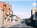


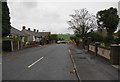
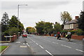
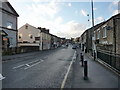
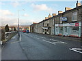
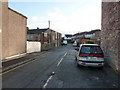
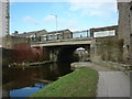
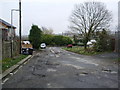
73 photos from this area
Area Information
Key information about the BB1 4LN including its size, population, and administrative classification.
- Area Type
- Postcode
- Area Size
- 1538 m²
- Population
- 1509
- Population Density
- 1211 people/km²
House Prices in BB1 4LN
10
Properties
£65,211
Average Sold Price
£27,500
Lowest Price
£85,000
Highest Price
Showing 10 properties
| Address | Type | Beds | Baths | Last Sale Price | Last Sale Date | |
|---|---|---|---|---|---|---|
| 2 Brook Street, Rishton, BB1 4LN | Terraced | 2 | 1 | £85,000 | Oct 2023 | |
| 10 Brook Street, Rishton, BB1 4LN | Terraced | 2 | 1 | £84,500 | Mar 2023 | |
| 12 Brook Street, Rishton, BB1 4LN | Terraced | 2 | 1 | £79,950 | Dec 2022 | |
| 4 Brook Street, Rishton, BB1 4LN | Terraced | 2 | 1 | £70,000 | Feb 2022 | |
| 1 Brook Street, Rishton, BB1 4LN | Terraced | 3 | 1 | £75,000 | Oct 2021 | |
| 8 Brook Street, Rishton, BB1 4LN | Terraced | 2 | 1 | £52,000 | Nov 2019 | |
| 3 Brook Street, Rishton, BB1 4LN | house | - | - | £49,950 | Sep 2012 | |
| 6 Brook Street, Rishton, BB1 4LN | house | - | - | £63,000 | May 2006 | |
| 5 Brook Street, Rishton, BB1 4LN | Terraced | 2 | 1 | £27,500 | Mar 2003 | |
| Columbia Motors, 1A Brook Street, Rishton, BB1 4LN | office_workshop | - | - | - | - |
Energy Efficiency in BB1 4LN
Amenities
Schools
| Rank | School | Type | Entry gender | Ages |
|---|
Explore more schools in this area
Go to Schools tabDemographics
Household Size
One person
most common
Accommodation Type
Houses
most common
Tenure
53
majority
Ethnic Group
White
most common
Religion
N/A
most common
Household Composition
N/A
most common
Age
47
median
Adults (30-64 years)
most common
Household Deprivation
N/A
with no deprivation
NS-SEC
22
in Lower managerial occupations
Explore more demographic insights in this area
Go to Demographics tabPlanning
Planning Constraints
- Flood RiskPremium
- Ramsar Wetland SitesPremium
- Area of Outstanding Natural BeautyPremium
- Protected Nature ReservePremium
- Protected WoodlandPremium