Area Overview for BB1 1SU
Photos of BB1 1SU
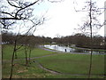
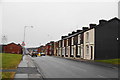
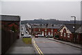
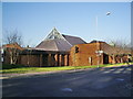
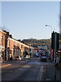
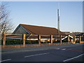
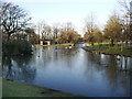
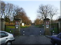
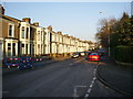
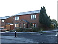
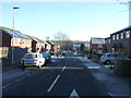
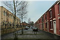
40 photos from this area
Area Information
Key information about the BB1 1SU including its size, population, and administrative classification.
- Area Type
- Postcode
- Area Size
- 5254 m²
- Population
- 1762
- Population Density
- 16560 people/km²
House Prices in BB1 1SU
43
Properties
£49,933
Average Sold Price
£14,500
Lowest Price
£99,995
Highest Price
Showing 43 properties
| Address | Type | Beds | Baths | Last Sale Price | Last Sale Date | |
|---|---|---|---|---|---|---|
| 151 Walter Street, Blackburn, BB1 1SU | house | - | - | £80,000 | Jun 2021 | |
| 121 Walter Street, Blackburn, BB1 1SU | house | 2 | 1 | £82,000 | Feb 2021 | |
| 115 Walter Street, Blackburn, BB1 1SU | Detached | - | - | £57,000 | Dec 2020 | |
| 123 Walter Street, Blackburn, BB1 1SU | Terraced | 2 | - | £73,000 | Mar 2020 | |
| 101 Walter Street, Blackburn, BB1 1SU | Terraced | 2 | 1 | £72,000 | Feb 2011 | |
| 143 Walter Street, Blackburn, BB1 1SU | Terraced | - | - | £82,500 | Sep 2008 | |
| 105 Walter Street, Blackburn, BB1 1SU | house | 3 | - | £99,995 | Jan 2008 | |
| 109 Walter Street, Blackburn, BB1 1SU | house | - | - | £36,500 | Oct 2007 | |
| 113-115 Walter Street, Blackburn, BB1 1SU | Terraced | - | - | £18,000 | Dec 2001 | |
| 87 Walter Street, Blackburn, BB1 1SU | house | - | - | £14,500 | Sep 2001 |
Page 1 of 5
Energy Efficiency in BB1 1SU
Amenities
Schools
| Rank | School | Type | Entry gender | Ages |
|---|
Explore more schools in this area
Go to Schools tabDemographics
Household Size
Family (3-5 people)
most common
Accommodation Type
Houses
most common
Tenure
69
majority
Ethnic Group
asian_total
most common
Religion
N/A
most common
Household Composition
N/A
most common
Age
47
median
Adults (30-64 years)
most common
Household Deprivation
N/A
with no deprivation
NS-SEC
16
in Lower managerial occupations
Explore more demographic insights in this area
Go to Demographics tabPlanning
Planning Constraints
- Flood RiskPremium
- Ramsar Wetland SitesPremium
- Area of Outstanding Natural BeautyPremium
- Protected Nature ReservePremium
- Protected WoodlandPremium