Area Overview for Bashall Eaves
Photos of Bashall Eaves
Area Information
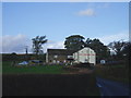
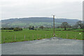
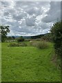
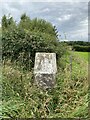
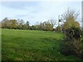
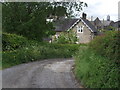
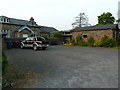
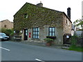
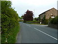
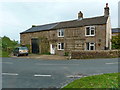
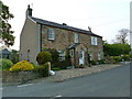
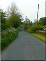
Living in Bashall Eaves offers a distinct experience defined by its rural character and specific environmental designations. This civil parish covers an area of 15.4 km², providing a relatively compact setting for residents to navigate. The community nature of the parish suggests a traditional neighbourhood layout where proximity to central amenities may vary compared to larger towns. You can expect a lifestyle that balances country living with the practicalities of modern connectivity. The area is notable for its inclusion within an Area of Outstanding Natural Beauty, which influences the local landscape and planning outlook. Additionally, the presence of protected woodland indicates that significant portions of the parish remain covered by designated natural spaces. These constraints shape daily life, potentially limiting new development in certain zones while preserving the visual quality of the surroundings. When considering homes in Bashall Eaves, you are choosing a location where nature and conservation play a central role in the community identity. The parish setting ensures a low-density environment, though the specific distribution of housing remains tied to the wider geographical features of this large, open area.
- Area Type
- Parish
- Area Size
- 15.4 km²
- Population
- Not available
- Population Density
- Not available
Demographics
The community profile in Bashall Eaves presents a clear signal regarding its resident base, with a median age of 70 years. This figure places the village firmly within the category of a mature community, suggesting that most households are headed by older residents who have settled there long-term. The population structure lacks younger age groups, which is typical for rural parishes where families with young children often move elsewhere. This demographic reality shapes the local culture, favouring services and social activities suited to the older generation. Home ownership stands at a high level of 68%, indicating that the vast majority of people in Bashall Eaves are in outright ownership or securing mortgages to stay. This statistic reinforces the idea that this is an established settlement rather than a commuter belt dependent on rentals. The specific details regarding accommodation type, household composition breakdowns, predominant ethnic group, and religion are not detailed in the current records, but the high ownership rate speaks volumes about stability. Living in Bashall Eaves means joining a neighbourhood where long-established residents make up the core of the population.
Household Size
Accommodation Type
Tenure
Ethnic Group
Religion
Household Composition
Age
Household Deprivation
NS-SEC
Explore more demographic insights in this area
Go to Demographics tabPlanning
Planning Constraints
- Flood RiskPremium
- Ramsar Wetland SitesPremium
- Area of Outstanding Natural BeautyPremium
- Protected Nature ReservePremium
- Protected WoodlandPremium
- Crime RiskPremium