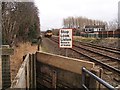
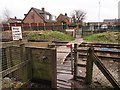
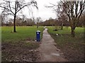
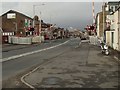
Area Overview for Bamber Bridge West Ward
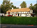
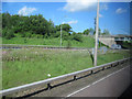
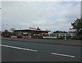
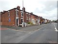
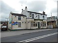
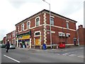
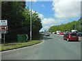
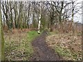
Photos of Bamber Bridge West Ward
Area Information
Bamber Bridge West Ward represents a compact geography within Greater Manchester, covering just 1.2 square kilometres. This small footprint concentrates a specific demographic, creating a tightly knit environment unlike the sprawling suburbs found elsewhere in the region. You will find that life here moves at a different pace compared to larger urban centres. The ward is defined by its status as a district borough unitary ward, which shapes local governance and services. Residents encounter a neighbourhood where the built environment is dense due to the limited physical space available. This constraint means amenities and neighbours are often within a short walking distance, fostering a sense of proximity that is characteristic of small wards. The area does not sprawl; it exists as a defined unit with clear boundaries. For someone considering homes in Bamber Bridge West Ward, the primary reality is the scale of the place itself. It is a contained community where daily routines involve navigating a small, familiar landscape. The distinct identity of the ward comes from its specific location and size rather than any unique architectural features or expansive green spaces that might be found in larger districts. You are buying into a specific slice of Bamber Bridge life, one where the physical world is immediately familiar and the community interactions are likely frequent because the streets are fewer and the distances are shorter. Understanding this scale is essential before you commit to living in this area.
- Area Type
- District Borough Unitary Ward
- Area Size
- 1.2 km²
- Population
- Not available
- Population Density
- Not available
Demographics
The community in Bamber Bridge West Ward is dominated by an elderly population, with a median age of 70 years. This figure indicates that the area is primarily inhabited by retired residents rather than young families or working-age professionals. The majority of households consist of older persons, reflecting the age profile established by the median age statistic. A significant 59% of local households own their homes outright or with a mortgage, suggesting a stable, long-term settlement pattern typical of retirement locations. This high level of home ownership contrasts with many metropolitan areas where rental properties form the majority of the stock. The low median age also implies that household composition shifts towards individuals living alone or couples with adult children who have moved out. You will find that the ward lacks the youthful vibrancy often associated with family hubs or university towns. The social fabric is built around the needs of older residents, from proximity to medical facilities to quiet residential streets. When you look at the data, the picture is clear: this is a mature community. The dominance of the 70-year median age dictates the rhythm of local life and the types of services that are prioritised. If you are seeking a retirement setting or a place for your own retired parents, the statistics align with that need. Conversely, those looking for a family environment might find the age distribution less suitable.
Household Size
Accommodation Type
Tenure
Ethnic Group
Religion
Household Composition
Age
Household Deprivation
NS-SEC
Explore more demographic insights in this area
Go to Demographics tabPlanning
Planning Constraints
- Flood RiskPremium
- Ramsar Wetland SitesPremium
- Area of Outstanding Natural BeautyPremium
- Protected Nature ReservePremium
- Protected WoodlandPremium
- Crime RiskPremium