Area Overview for Wheatley Hill
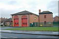
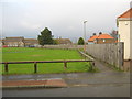
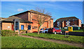
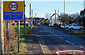
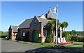
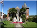
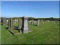
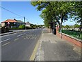
Photos of Wheatley Hill
Area Information
Wheatley Hill is a built-up area in England covering 78.2 hectares, shaped by its older demographic profile. With a median age of 70, it reflects a community where many residents have lived for decades, creating a sense of continuity. The area’s compact size means amenities and services are within practical reach, supporting a lifestyle that balances local convenience with broader connectivity. Daily life here is influenced by the presence of primary schools, retail outlets, and a rail station, offering both routine and access to nearby towns. While the population data does not specify household types or ethnic diversity, the 61% home ownership rate suggests a mix of long-term residents and those seeking stable housing. For buyers, Wheatley Hill presents a chance to live in a place where familiarity with the local environment is key, and the area’s proximity to essential services ensures a self-contained yet accessible way of life.
- Area Type
- Built Up Area 250
- Area Size
- 78.2 hectares
- Population
- Not available
- Population Density
- Not available
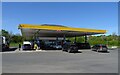
Wheatley Hill’s lifestyle is shaped by its nearby amenities, including five retail outlets such as Co-op Wheatley, Spar Old, and Budgens Thornley, offering everyday shopping convenience. The Horden Peterlee Station provides rail access, connecting residents to broader networks for travel or commuting. While the data does not mention parks or leisure facilities, the presence of multiple retail spots suggests a community focused on practical needs. The area’s compact size means residents can access essentials without long journeys, fostering a self-contained environment. This balance of local shops and transport links supports a lifestyle that prioritises ease of access and routine convenience.
Amenities
Schools
Wheatley Hill’s primary schools include Wheatley Hill Community Primary School, which holds a ‘good’ Ofsted rating, and St Godric’s Roman Catholic Voluntary Aided Primary School, Thornley, along with St Godrics Catholic Primary School, Thornley. These institutions cater to local families, offering a range of educational options from state-run to faith-based settings. The presence of two Catholic schools in Thornley adds diversity to the educational landscape, while the ‘good’ rating at Wheatley Hill Community Primary School indicates a school performing above average. For parents, this mix of school types provides flexibility, though the data does not include secondary schools or further education options. The proximity of these schools to the area underscores their role in shaping the community’s daily life and long-term planning for families.
| Rank | School | Type | Entry gender | Ages |
|---|
Explore more schools in this area
Go to Schools tabDemographics
The population of Wheatley Hill has a median age of 70, indicating a community skewed toward older adults. This age profile suggests a demographic where retirement is a significant phase, though specific data on household composition or diversity is not available. Home ownership stands at 61%, meaning nearly two-thirds of residents own their homes, which may reflect a preference for stability in an area with established housing stock. The accommodation types and ethnic group breakdown are listed as totals, so no further detail is provided. While deprivation data is absent, the age profile and home ownership rate imply a community where property is often held long-term, and local services cater to older residents. This context is important for understanding the area’s character and the needs of its population.
Household Size
Accommodation Type
Tenure
Ethnic Group
Religion
Household Composition
Age
Household Deprivation
NS-SEC
Explore more demographic insights in this area
Go to Demographics tabPlanning
Planning Constraints
- Crime RiskPremium