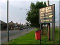
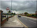
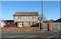
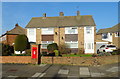
Area Overview for West Dyke Ward
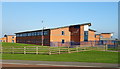
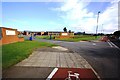
Photos of West Dyke Ward


Area Information
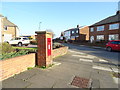
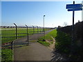
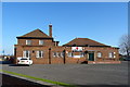
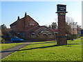
Living in West Dyke Ward offers a compact and settled way of life within Redcar and Cleveland Borough Council. This electoral ward occupies just 1.8 km², which creates a tightly knit environment for its population of approximately 1,419 residents. The area is positioned in the North East England region, offering a defined sense of place rather than sprawling suburban anonymity. You will find a community where daily interactions are shaped by small spaces and shared neighbourhood dynamics. The geography allows for easy access to local amenities, as the physical footprint remains manageable for residents moving between home and essential services. The ward functions as a distinct unit within the larger local government structure, providing a clear administrative identity for those calling it home. With a density of 809 people per square kilometre, the area balances residential privacy with community proximity. You can expect a neighbourhood where the scale of development supports a quiet, residential character. This setting appeals to individuals seeking stability and a manageable environment within the Redcar and Cleveland area. The fact that the entire ward fits into such a small perimeter means you never feel far from your local surroundings when living in this specific district.
- Area Type
- District Borough Unitary Ward
- Area Size
- 1.8 km²
- Population
- 1419
- Population Density
- 809 people/km²
Demographics
The community profile of West Dyke Ward reflects a mature and established population. The median age stands at 70, indicating that the ward is largely comprised of older residents who have put down roots over a long period. While the dataset lists the most common age range simply as 'Total', the specific median figure confirms that demographics skew significantly towards the senior end of the spectrum. With 87% of households owning their property, you will find a community defined by long-term settlement rather than transient living arrangements. This high level of home ownership suggests that residents are likely to stay in their homes for many years, contributing to a stable neighbourhood fabric. The area does not appear to rely heavily on the private rental sector, which reinforces the sense of permanence among locals. Accommodation types and predominant ethnic groups are noted in the available records, though the overwhelming factor remains the age profile and ownership status. For younger buyers, understanding that the predominant demographic is considerably older than the national average is essential. When considering homes in West Dyke Ward, you should expect a quiet, senior-led community where the established resident base drives local culture and needs.
Household Size
Accommodation Type
Tenure
Ethnic Group
Religion
Household Composition
Age
Household Deprivation
NS-SEC
Explore more demographic insights in this area
Go to Demographics tabPlanning
Planning Constraints
- Flood RiskPremium
- Ramsar Wetland SitesPremium
- Area of Outstanding Natural BeautyPremium
- Protected Nature ReservePremium
- Protected WoodlandPremium
- Crime RiskPremium