Area Overview for Wackerfield
Photos of Wackerfield
Area Information
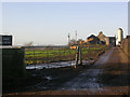
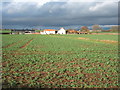
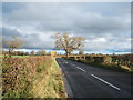
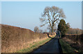
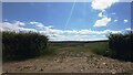
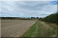
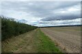
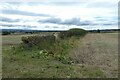
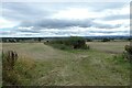
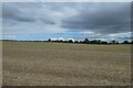
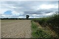
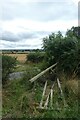
Wackerfield is a civil parish defined by its small physical footprint, covering just 3.0 km² of land in England. This compact size limits the physical scope of daily life, meaning your walkability is strictly determined by the local geography. Living in Wackerfield means you are part of a very specific, contained environment where the boundaries of your community are clearly defined. The area totals approximately 3.0 square kilometres, which restricts the variety of immediate surroundings you will encounter compared to larger towns. You should expect a neighbourhood where distances between homes are short, creating a tight-knit setting. The population is settled, with a median age of 70 years, forming the core character of the parish. This demographic fact shapes the local services and social rhythm you will experience. The area is designed for those who value a smaller scale of life over urban sprawl. When you consider homes in Wackerfield, remember that the entire living community fits within this specific 3.0 km² boundary. Your daily exploration will be constrained to this small but distinct space.
- Area Type
- Parish
- Area Size
- 3.0 km²
- Population
- Not available
- Population Density
- Not available
Demographics
The community in Wackerfield is characterised by an advanced age profile, with the median age recorded at 70. This figure indicates that the majority of the population consists of older residents, fundamentally shaping the social fabric of the parish. You will find that the homes in Wackerfield cater largely to this demographic group. The area experiences low population turnover, reflecting a stable community where long-term residents dominate the headcount. Home ownership stands at 73%, a statistic that confirms the prevalence of owner-occupied properties over rental schemes. Three-quarters of the households own their homes outright, creating a neighbourhood invested in its stability. African British residents form a notable part of the ethnic composition, adding specific diversity to the otherwise aged profile. The household composition data confirms a total count of residents living in standard domestic arrangements. There is no significant recent migration into the parish, reinforcing the static nature of the population. The religion profile shows a total count for the community, with no specific dominant group highlighted in recent census breakdowns for this specific area. These facts combine to present a settled, older community where the economic focus remains on maintaining existing homes rather than attracting fresh investment or new families.
Household Size
Accommodation Type
Tenure
Ethnic Group
Religion
Household Composition
Age
Household Deprivation
NS-SEC
Explore more demographic insights in this area
Go to Demographics tabPlanning
Planning Constraints
- Flood RiskLocked
- Ramsar Wetland SitesLocked
- Area of Outstanding Natural BeautyLocked
- Protected Nature ReserveLocked
- Protected WoodlandLocked
- Crime RiskLocked