Area Overview for Ulgham
Photos of Ulgham
Area Information
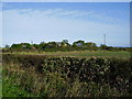
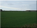
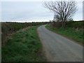
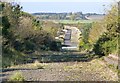
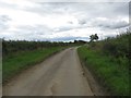
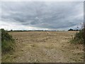
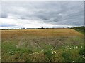
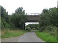
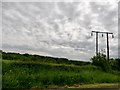
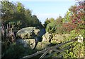
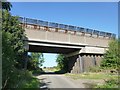
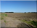
Ulgham is a civil parish situated in the heart of Northumberland, covering a total area of 7.1 square kilometres. This locality offers a defined sense of place rather than the sprawling scale of larger settlements. The sheer size of the parish indicates a rural character where distance is a practical consideration for daily travel. Living in Ulgham means accepting a neighbourhood scale that prioritises space over density. You will find a community bound by its geographic boundaries rather than high-rise developments or extensive commercial retail strips. The landscape dominates the experience here, shaping how residents move through their environment and interact with their surroundings. Prospective buyers should understand that Ulgham operates as a self-contained rural unit within the wider Northumberland region. The modest land mass suggests limited room for rapid expansion or significant new development without careful planning. Daily life revolves around the immediate environment and connections to nearby towns rather than internal neighbourhood variety. This constrained size creates an intimate setting where the local character remains consistent across the entire parish. You are looking at a specific type of rural living that demands familiarity with local geography and transport links. The area stands as a distinct entity with clear boundaries, offering a straightforward profile for those seeking a tranquil existence away from urban congestion.
- Area Type
- Parish
- Area Size
- 7.1 km²
- Population
- Not available
- Population Density
- Not available
Demographics
The community profile of Ulgham reveals a settlementClearly defined by its mature population structure. The median age stands at 70 years, indicating that the residents are predominantly seniors. This demographic reality shapes the social dynamics and the nature of household formations within the parish. You are examining an area where long-term residents remain rather than families with young children moving in periodically. The high proportion of older adults suggests a stable, settled environment where change occurs gradually rather than through rapid demographic turnover. Home ownership defines the economic landscape of this locale with striking consistency. Approximately 84% of residents own their homes outright or with a mortgage. This high figure points to a capital asset market rather than a temporary rental arrangement. The majority of the population has invested directly in property, creating a vested interest in the stability and maintenance of the local housing stock. Such a high ownership rate is typical of rural parishes where land values have historically aligned with long-term retirement planning or inherited property. The data indicates a total household composition that aligns with this older demographic, though specific breakdowns by age range or ethnicity are not individually broken out in the current records. The picture that emerges is one of a homogenous community in terms of tenure but with a clear age skew. This demographic profile informs the type of amenities that naturally support the area, favouring services catering to an older populace over those targeting young professionals or large families.
Household Size
Accommodation Type
Tenure
Ethnic Group
Religion
Household Composition
Age
Household Deprivation
NS-SEC
Explore more demographic insights in this area
Go to Demographics tabPlanning
Planning Constraints
- Flood RiskPremium
- Ramsar Wetland SitesPremium
- Area of Outstanding Natural BeautyPremium
- Protected Nature ReservePremium
- Protected WoodlandPremium
- Crime RiskPremium