Area Overview for Sunderland
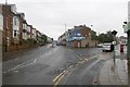
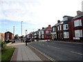
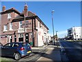
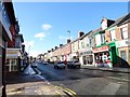
Photos of Sunderland


Area Information
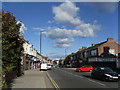
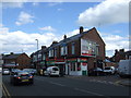
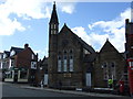
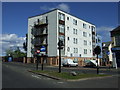
Sunderland is a built-up area in England covering 38.8 km², home to 53,718 residents. With a population density of 1,384 people per square kilometre, it reflects a compact, urban environment where proximity to amenities is a defining feature. The city’s character is shaped by its historical industrial roots and modern infrastructure, offering a mix of traditional and contemporary living. Residents benefit from a well-connected transport network, including five rail stations and multiple metro stops, which support both daily commutes and regional travel. The area’s digital connectivity is strong, with a broadband score of 95 and mobile coverage of 85, ensuring reliable internet access for remote work and everyday use. Sunderland’s appeal lies in its balance of accessibility, affordability, and community resources, making it a practical choice for those prioritising convenience without sacrificing the vibrancy of a city environment.
- Area Type
- Built Up Area 250
- Area Size
- 38.8 km²
- Population
- 53718
- Population Density
- 1384 people/km²
Sunderland’s residents have access to a range of nearby amenities within practical reach. Retail options include Spar Ewesley, Spar, and Morrisons Daily, offering everyday essentials. The area’s metro stops—such as University and Pallion—connect to cultural and educational institutions, while rail stations like Seaburn provide links to broader regional networks. These amenities contribute to a convenient, self-contained lifestyle, reducing the need for long commutes. The presence of multiple retail and transport hubs ensures that daily errands, leisure activities, and professional travel are efficiently managed. Whether shopping for groceries, attending events, or navigating the city, Sunderland’s layout prioritises accessibility, making it practical for families, commuters, and professionals alike.
Amenities
Schools
| Rank | School | Type | Entry gender | Ages |
|---|