Area Overview for TS8 9XU
Photos of TS8 9XU
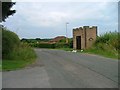
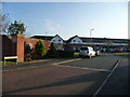
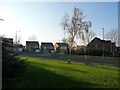
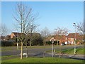
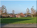
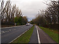
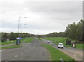
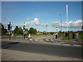
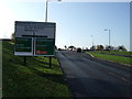
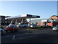
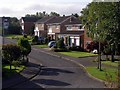
14 photos from this area
Area Information
Key information about the TS8 9XU including its size, population, and administrative classification.
- Area Type
- Postcode
- Area Size
- 4.0 hectares
- Population
- 1900
- Population Density
- 2758 people/km²
House Prices in TS8 9XU
65
Properties
£130,281
Average Sold Price
£50,500
Lowest Price
£256,000
Highest Price
Showing 65 properties
| Address | Type | Beds | Baths | Last Sale Price | Last Sale Date | |
|---|---|---|---|---|---|---|
| 42 Blairgowrie, Middlesbrough, TS8 9XU | Semi-detached | 2 | 1 | £192,500 | Aug 2025 | |
| 10 Blairgowrie, Middlesbrough, TS8 9XU | house | 3 | 1 | £165,000 | Jun 2025 | |
| 2 Blairgowrie, Middlesbrough, TS8 9XU | Detached | 3 | 1 | £175,000 | Jun 2025 | |
| 12 Blairgowrie, Middlesbrough, TS8 9XU | house | 3 | 2 | £185,500 | Mar 2025 | |
| 48 Blairgowrie, Middlesbrough, TS8 9XU | Detached | 3 | 2 | £195,000 | Oct 2024 | |
| 16A Blairgowrie, Middlesbrough, TS8 9XU | Semi-detached | 3 | 1 | £170,000 | Jan 2024 | |
| 35 Blairgowrie, Middlesbrough, TS8 9XU | house | 3 | 2 | £191,000 | Dec 2023 | |
| 29A Blairgowrie, Middlesbrough, TS8 9XU | house | 3 | 2 | £218,000 | Nov 2023 | |
| 33 Blairgowrie, Middlesbrough, TS8 9XU | house | 3 | - | £150,000 | Nov 2021 | |
| 19 Blairgowrie, Middlesbrough, TS8 9XU | house | - | - | £175,000 | Nov 2021 |
Page 1 of 7
Energy Efficiency in TS8 9XU
Amenities
Schools
| Rank | School | Type | Entry gender | Ages |
|---|
Explore more schools in this area
Go to Schools tabDemographics
Household Size
Two person
most common
Accommodation Type
Houses
most common
Tenure
85
majority
Ethnic Group
White
most common
Religion
N/A
most common
Household Composition
N/A
most common
Age
47
median
Adults (30-64 years)
most common
Household Deprivation
N/A
with no deprivation
NS-SEC
41
in Lower managerial occupations
Explore more demographic insights in this area
Go to Demographics tabPlanning
Planning Constraints
- Flood RiskPremium
- Ramsar Wetland SitesPremium
- Area of Outstanding Natural BeautyPremium
- Protected Nature ReservePremium
- Protected WoodlandPremium