Area Overview for TS7 9HL
Photos of TS7 9HL
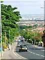
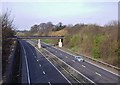
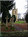

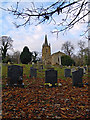
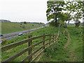


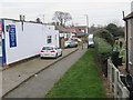
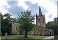
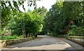
34 photos from this area
Area Information
Key information about the TS7 9HL including its size, population, and administrative classification.
- Area Type
- Postcode
- Area Size
- 2.5 hectares
- Population
- 1770
- Population Density
- 1900 people/km²
House Prices in TS7 9HL
26
Properties
£165,214
Average Sold Price
£59,500
Lowest Price
£300,000
Highest Price
Showing 26 properties
| Address | Type | Beds | Baths | Last Sale Price | Last Sale Date | |
|---|---|---|---|---|---|---|
| 109 Ormesby Bank, Ormesby, TS7 9HL | Bungalow | 2 | - | £180,000 | Aug 2016 | |
| 99 Ormesby Bank, Ormesby, TS7 9HL | house | - | - | £115,000 | Jun 2013 | |
| 105 Ormesby Bank, Ormesby, TS7 9HL | Bungalow | - | - | £188,000 | Feb 2011 | |
| 115 Ormesby Bank, Ormesby, TS7 9HL | Detached | 5 | 2 | £300,000 | Sep 2006 | |
| 73 Ormesby Bank, Ormesby, TS7 9HL | Bungalow | 3 | 3 | £154,000 | Jul 2001 | |
| 97 Ormesby Bank, Ormesby, TS7 9HL | house | - | - | £59,500 | Oct 1996 | |
| 117 Ormesby Bank, Ormesby, TS7 9HL | Detached | - | - | £160,000 | Sep 1995 | |
| 101 Ormesby Bank, Ormesby, TS7 9HL | Land | 3 | - | - | - | |
| 111A Ormesby Bank, Ormesby, TS7 9HL | Detached | 5 | 1 | - | - | |
| 113A Ormesby Bank, Ormesby, TS7 9HL | Bungalow | 3 | - | - | - |
Page 1 of 3
Energy Efficiency in TS7 9HL
Amenities
Schools
| Rank | School | Type | Entry gender | Ages |
|---|
Explore more schools in this area
Go to Schools tabDemographics
Household Size
Two person
most common
Accommodation Type
Houses
most common
Tenure
91
majority
Ethnic Group
White
most common
Religion
N/A
most common
Household Composition
N/A
most common
Age
47
median
Adults (30-64 years)
most common
Household Deprivation
N/A
with no deprivation
NS-SEC
33
in Lower managerial occupations
Explore more demographic insights in this area
Go to Demographics tabPlanning
Planning Constraints
- Flood RiskPremium
- Ramsar Wetland SitesPremium
- Area of Outstanding Natural BeautyPremium
- Protected Nature ReservePremium
- Protected WoodlandPremium