Area Overview for TS7 0PQ
Photos of TS7 0PQ
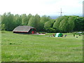
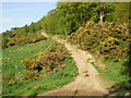
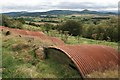
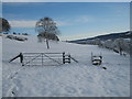
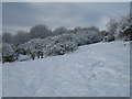
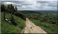
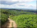
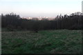
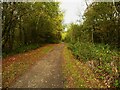
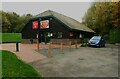
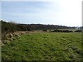
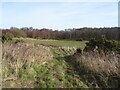
23 photos from this area
Area Information
Key information about the TS7 0PQ including its size, population, and administrative classification.
- Area Type
- Postcode
- Area Size
- 67.3 hectares
- Population
- 2061
- Population Density
- 107 people/km²
House Prices in TS7 0PQ
11
Properties
£260,000
Average Sold Price
£250,000
Lowest Price
£290,000
Highest Price
Showing 11 properties
| Address | Type | Beds | Baths | Last Sale Price | Last Sale Date | |
|---|---|---|---|---|---|---|
| Chilvers Cottage, Flatts Lane, Normanby, TS7 0PQ | Detached | - | - | £290,000 | Jan 2021 | |
| The Stables, Flatts Lane, Normanby, TS7 0PQ | Detached | - | - | £250,000 | Feb 2015 | |
| Dibdale Manor, Flatts Lane, Normanby, TS7 0PQ | house | - | - | £250,000 | Sep 2001 | |
| Hillside, Flatts Lane, Normanby, TS7 0PQ | Detached | - | - | £250,000 | Sep 1999 | |
| The Coach House, Flatts Lane, Normanby, TS7 0PQ | Detached | 4 | 2 | - | - | |
| Roseberry Grange Care Home, Flatts Lane, Normanby, TS7 0PQ | Retirement | - | - | - | - | |
| The Grange, Flatts Lane, Normanby, TS7 0PQ | Retirement | - | - | - | - | |
| Golden Crest Nursing Home, Flatts Lane, Normanby, TS7 0PQ | Detached | - | - | - | - | |
| Upsall Grange, Flatts Lane, Normanby, TS7 0PQ | Detached | - | - | - | - | |
| Springbank, Flatts Lane, Normanby, TS7 0PQ | house | - | - | - | - |
Page 1 of 2
Energy Efficiency in TS7 0PQ
Amenities
Schools
| Rank | School | Type | Entry gender | Ages |
|---|
Explore more schools in this area
Go to Schools tabDemographics
Household Size
Two person
most common
Accommodation Type
Houses
most common
Tenure
59
majority
Ethnic Group
White
most common
Religion
N/A
most common
Household Composition
N/A
most common
Age
47
median
Adults (30-64 years)
most common
Household Deprivation
N/A
with no deprivation
NS-SEC
28
in Lower managerial occupations
Explore more demographic insights in this area
Go to Demographics tabPlanning
Planning Constraints
- Flood RiskPremium
- Ramsar Wetland SitesPremium
- Area of Outstanding Natural BeautyPremium
- Protected Nature ReservePremium
- Protected WoodlandPremium