Area Overview for TS7 0JP
Photos of TS7 0JP
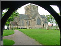
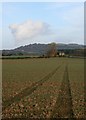
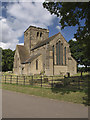
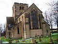
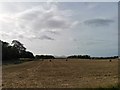
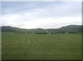
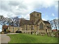
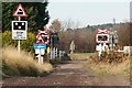
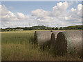
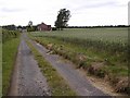
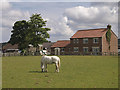
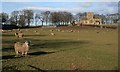
14 photos from this area
Area Information
Key information about the TS7 0JP including its size, population, and administrative classification.
- Area Type
- Postcode
- Area Size
- 7.7 hectares
- Population
- 1437
- Population Density
- 1508 people/km²
House Prices in TS7 0JP
27
Properties
£243,128
Average Sold Price
£67,000
Lowest Price
£585,000
Highest Price
Showing 27 properties
| Address | Type | Beds | Baths | Last Sale Price | Last Sale Date | |
|---|---|---|---|---|---|---|
| 30 The Crescent, Nunthorpe, TS7 0JP | Bungalow | 3 | 3 | £460,000 | Mar 2025 | |
| 2 The Crescent, Nunthorpe, TS7 0JP | Semi-detached | 2 | 1 | £205,000 | Mar 2024 | |
| 46 The Crescent, Nunthorpe, TS7 0JP | Bungalow | 4 | 2 | £400,000 | Jan 2024 | |
| 40 The Crescent, Nunthorpe, TS7 0JP | house | - | - | £415,000 | Jul 2023 | |
| 44 The Crescent, Nunthorpe, TS7 0JP | Bungalow | - | - | £387,500 | Jan 2022 | |
| 32 The Crescent, Nunthorpe, TS7 0JP | house | - | - | £585,000 | Sep 2021 | |
| 28 The Crescent, Nunthorpe, TS7 0JP | Bungalow | - | - | £268,000 | Aug 2021 | |
| 48 The Crescent, Nunthorpe, TS7 0JP | Bungalow | - | - | £397,500 | Mar 2020 | |
| 10 The Crescent, Nunthorpe, TS7 0JP | Bungalow | - | - | £165,000 | Jan 2019 | |
| 2B The Crescent, Nunthorpe, TS7 0JP | Detached | 4 | 2 | £280,000 | Oct 2016 |
Page 1 of 3
Energy Efficiency in TS7 0JP
Amenities
Schools
| Rank | School | Type | Entry gender | Ages |
|---|
Explore more schools in this area
Go to Schools tabDemographics
Household Size
Two person
most common
Accommodation Type
Houses
most common
Tenure
82
majority
Ethnic Group
White
most common
Religion
N/A
most common
Household Composition
N/A
most common
Age
47
median
Adults (30-64 years)
most common
Household Deprivation
N/A
with no deprivation
NS-SEC
35
in Lower managerial occupations
Explore more demographic insights in this area
Go to Demographics tabPlanning
Planning Constraints
- Flood RiskPremium
- Ramsar Wetland SitesPremium
- Area of Outstanding Natural BeautyPremium
- Protected Nature ReservePremium
- Protected WoodlandPremium