Area Overview for TS6 6SY
Photos of TS6 6SY

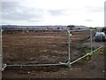
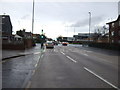
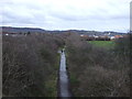
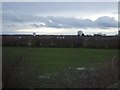
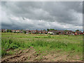
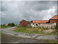
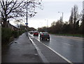
16 photos from this area
Area Information
Key information about the TS6 6SY including its size, population, and administrative classification.
- Area Type
- Postcode
- Area Size
- 2.0 hectares
- Population
- 1862
- Population Density
- 952 people/km²
House Prices in TS6 6SY
25
Properties
£78,335
Average Sold Price
£28,000
Lowest Price
£142,500
Highest Price
Showing 25 properties
| Address | Type | Beds | Baths | Last Sale Price | Last Sale Date | |
|---|---|---|---|---|---|---|
| 14 Poplar Grove, South Bank, TS6 6SY | house | - | - | £138,000 | Feb 2023 | |
| 4 Poplar Grove, South Bank, TS6 6SY | Retail | 3 | 2 | £142,500 | Jun 2022 | |
| 21 Poplar Grove, South Bank, TS6 6SY | Semi-detached | 4 | - | £113,425 | Jul 2016 | |
| 9 Poplar Grove, South Bank, TS6 6SY | house | - | - | £100,000 | Apr 2016 | |
| 16 Poplar Grove, South Bank, TS6 6SY | house | - | - | £74,970 | Dec 2012 | |
| 13 Poplar Grove, South Bank, TS6 6SY | house | 3 | - | £88,300 | May 2012 | |
| 19 Poplar Grove, South Bank, TS6 6SY | house | - | - | £99,995 | Jul 2010 | |
| 1 Poplar Grove, South Bank, TS6 6SY | house | - | - | £90,000 | Sep 2009 | |
| 11 Poplar Grove, South Bank, TS6 6SY | Semi-detached | - | - | £65,000 | Mar 2004 | |
| 3 Poplar Grove, South Bank, TS6 6SY | house | - | - | £44,000 | Nov 2002 |
Page 1 of 3
Energy Efficiency in TS6 6SY
Amenities
Schools
| Rank | School | Type | Entry gender | Ages |
|---|
Explore more schools in this area
Go to Schools tabDemographics
Household Size
One person
most common
Accommodation Type
Houses
most common
Tenure
39
majority
Ethnic Group
White
most common
Religion
N/A
most common
Household Composition
N/A
most common
Age
47
median
Adults (30-64 years)
most common
Household Deprivation
N/A
with no deprivation
NS-SEC
12
in Lower managerial occupations
Explore more demographic insights in this area
Go to Demographics tabPlanning
Planning Constraints
- Flood RiskPremium
- Ramsar Wetland SitesPremium
- Area of Outstanding Natural BeautyPremium
- Protected Nature ReservePremium
- Protected WoodlandPremium