Area Overview for TS6 6SR
Photos of TS6 6SR
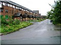
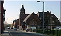

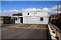
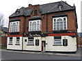
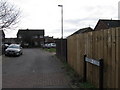
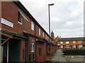
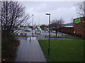
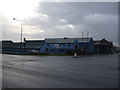
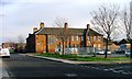

22 photos from this area
Area Information
Key information about the TS6 6SR including its size, population, and administrative classification.
- Area Type
- Postcode
- Area Size
- 1.8 hectares
- Population
- 1862
- Population Density
- 952 people/km²
House Prices in TS6 6SR
33
Properties
£103,535
Average Sold Price
£30,000
Lowest Price
£190,000
Highest Price
Showing 33 properties
| Address | Type | Beds | Baths | Last Sale Price | Last Sale Date | |
|---|---|---|---|---|---|---|
| 187 Normanby Road, South Bank, TS6 6SR | Semi-detached | 3 | 1 | £190,000 | Sep 2024 | |
| 205 Normanby Road, South Bank, TS6 6SR | house | - | - | £100,000 | Jun 2020 | |
| 203 Normanby Road, South Bank, TS6 6SR | house | - | - | £107,000 | Sep 2014 | |
| 207 Normanby Road, South Bank, TS6 6SR | Terraced | - | - | £97,500 | Dec 2011 | |
| 171 Normanby Road, South Bank, TS6 6SR | Semi-detached | 3 | - | £140,000 | Jul 2011 | |
| 179 Normanby Road, South Bank, TS6 6SR | house | 4 | - | £120,000 | Jul 2011 | |
| 153 Normanby Road, South Bank, TS6 6SR | Semi-detached | - | - | £68,600 | Nov 2008 | |
| 175 Normanby Road, South Bank, TS6 6SR | house | - | - | £170,000 | Nov 2006 | |
| 173 Normanby Road, South Bank, TS6 6SR | house | - | - | £155,000 | Oct 2006 | |
| 177 Normanby Road, South Bank, TS6 6SR | house | - | - | £175,000 | Nov 2005 |
Page 1 of 4
Energy Efficiency in TS6 6SR
Amenities
Schools
| Rank | School | Type | Entry gender | Ages |
|---|
Explore more schools in this area
Go to Schools tabDemographics
Household Size
One person
most common
Accommodation Type
Houses
most common
Tenure
39
majority
Ethnic Group
White
most common
Religion
N/A
most common
Household Composition
N/A
most common
Age
47
median
Adults (30-64 years)
most common
Household Deprivation
N/A
with no deprivation
NS-SEC
12
in Lower managerial occupations
Explore more demographic insights in this area
Go to Demographics tabPlanning
Planning Constraints
- Flood RiskPremium
- Ramsar Wetland SitesPremium
- Area of Outstanding Natural BeautyPremium
- Protected Nature ReservePremium
- Protected WoodlandPremium