Area Overview for TS6 0TD
Photos of TS6 0TD
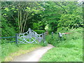

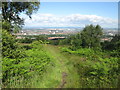
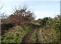
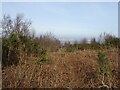
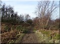
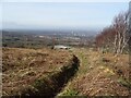
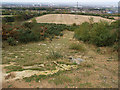
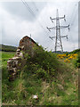
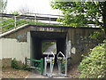
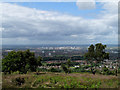
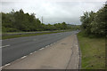
16 photos from this area
Area Information
Key information about the TS6 0TD including its size, population, and administrative classification.
- Area Type
- Postcode
- Area Size
- 1.1 hectares
- Population
- 1415
- Population Density
- 1320 people/km²
House Prices in TS6 0TD
46
Properties
£68,875
Average Sold Price
£31,500
Lowest Price
£99,999
Highest Price
Showing 46 properties
| Address | Type | Beds | Baths | Last Sale Price | Last Sale Date | |
|---|---|---|---|---|---|---|
| 19 Gorsefield Court, Eston, TS6 0TD | Terraced | 3 | 1 | £99,999 | Jan 2025 | |
| 31 Gorsefield Court, Eston, TS6 0TD | Terraced | 3 | 1 | £85,000 | Oct 2022 | |
| 42 Gorsefield Court, Eston, TS6 0TD | house | 2 | 1 | £35,000 | Nov 2017 | |
| 17 Gorsefield Court, Eston, TS6 0TD | house | - | - | £61,000 | Oct 2015 | |
| 22 Gorsefield Court, Eston, TS6 0TD | Terraced | - | - | £86,000 | May 2008 | |
| 48 Gorsefield Court, Eston, TS6 0TD | Terraced | 3 | 1 | £77,500 | Nov 2006 | |
| 8 Gorsefield Court, Eston, TS6 0TD | Terraced | 3 | - | £75,000 | Mar 2006 | |
| 12 Gorsefield Court, Eston, TS6 0TD | Terraced | - | - | £31,500 | Apr 1995 | |
| 16 Gorsefield Court, Eston, TS6 0TD | Terraced | 3 | 1 | - | - | |
| 1 Gorsefield Court, Eston, TS6 0TD | house | 5 | - | - | - |
Page 1 of 5
Energy Efficiency in TS6 0TD
Amenities
Schools
| Rank | School | Type | Entry gender | Ages |
|---|
Explore more schools in this area
Go to Schools tabDemographics
Household Size
One person
most common
Accommodation Type
Houses
most common
Tenure
22
majority
Ethnic Group
White
most common
Religion
N/A
most common
Household Composition
N/A
most common
Age
47
median
Adults (30-64 years)
most common
Household Deprivation
N/A
with no deprivation
NS-SEC
10
in Lower managerial occupations
Explore more demographic insights in this area
Go to Demographics tabPlanning
Planning Constraints
- Flood RiskPremium
- Ramsar Wetland SitesPremium
- Area of Outstanding Natural BeautyPremium
- Protected Nature ReservePremium
- Protected WoodlandPremium