Area Overview for TS6 0AR
Photos of TS6 0AR
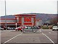
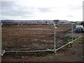
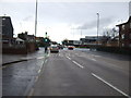
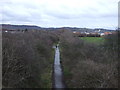
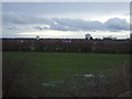
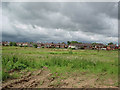
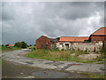
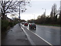
16 photos from this area
Area Information
Key information about the TS6 0AR including its size, population, and administrative classification.
- Area Type
- Postcode
- Area Size
- 1.2 hectares
- Population
- 2116
- Population Density
- 1917 people/km²
House Prices in TS6 0AR
38
Properties
£83,452
Average Sold Price
£38,500
Lowest Price
£130,000
Highest Price
Showing 38 properties
| Address | Type | Beds | Baths | Last Sale Price | Last Sale Date | |
|---|---|---|---|---|---|---|
| 14 Park Avenue, Teesville, TS6 0AR | house | - | - | £100,000 | Jan 2024 | |
| 7 Park Avenue, Teesville, TS6 0AR | house | - | - | £100,000 | Oct 2021 | |
| 40 Park Avenue, Teesville, TS6 0AR | house | - | - | £87,500 | Jun 2021 | |
| 34 Park Avenue, Teesville, TS6 0AR | house | - | - | £90,000 | Dec 2019 | |
| 13 Park Avenue, Teesville, TS6 0AR | Semi-detached | - | - | £80,000 | Feb 2018 | |
| 44 Park Avenue, Teesville, TS6 0AR | house | - | - | £75,000 | Oct 2016 | |
| 19 Park Avenue, Teesville, TS6 0AR | Semi-detached | 3 | - | £82,000 | Jun 2016 | |
| 36 Park Avenue, Teesville, TS6 0AR | house | - | - | £95,000 | Jul 2015 | |
| 20 Park Avenue, Teesville, TS6 0AR | Semi-detached | 3 | - | £82,000 | Oct 2010 | |
| 27 Park Avenue, Teesville, TS6 0AR | house | - | - | £88,000 | May 2010 |
Page 1 of 4
Energy Efficiency in TS6 0AR
Amenities
Schools
| Rank | School | Type | Entry gender | Ages |
|---|
Explore more schools in this area
Go to Schools tabDemographics
Household Size
Family (3-5 people)
most common
Accommodation Type
Houses
most common
Tenure
78
majority
Ethnic Group
White
most common
Religion
N/A
most common
Household Composition
N/A
most common
Age
47
median
Adults (30-64 years)
most common
Household Deprivation
N/A
with no deprivation
NS-SEC
25
in Lower managerial occupations
Explore more demographic insights in this area
Go to Demographics tabPlanning
Planning Constraints
- Flood RiskPremium
- Ramsar Wetland SitesPremium
- Area of Outstanding Natural BeautyPremium
- Protected Nature ReservePremium
- Protected WoodlandPremium